Search and Rescue Services in Lexington, NE | Thermal Drone Search & Aerial Support

Search and rescue services in Lexington NE, start with a simple problem: the person or animal you need to find could be anywhere in a few thousand acres of corn, river bottom, and shelterbelt. DroneX Services sends a thermal drone over that ground to help responders narrow the search quickly. Hours of walking can become minutes of flying. We follow the incident commander’s lead, relay live video, and mark coordinates the ground team can drive or hike to. If someone is in danger right now, call 911 first. For a search underway, a standby request, or planning ahead, tell us the terrain, the time, and what you know. We will say what a drone can add.

Search and Rescue
Get a free Estimate

WHAT CAN WE DO FOR YOU?

Check Out Our Services in Lexington, NE

Emergencies are the smallest part of our calendar and the part that matters most. The rest of the year, our aircraft spray fields, check roofs, and map building sites, and each job keeps pilots sharp and batteries cycled. Five services are listed below. Pick the one that fits your situation, or call if your need sits between two of them. Fire districts, landowners, and families have all started with a question and no plan. We are happy to talk through what a drone can and cannot do before booking.

Agricultural Drone Services

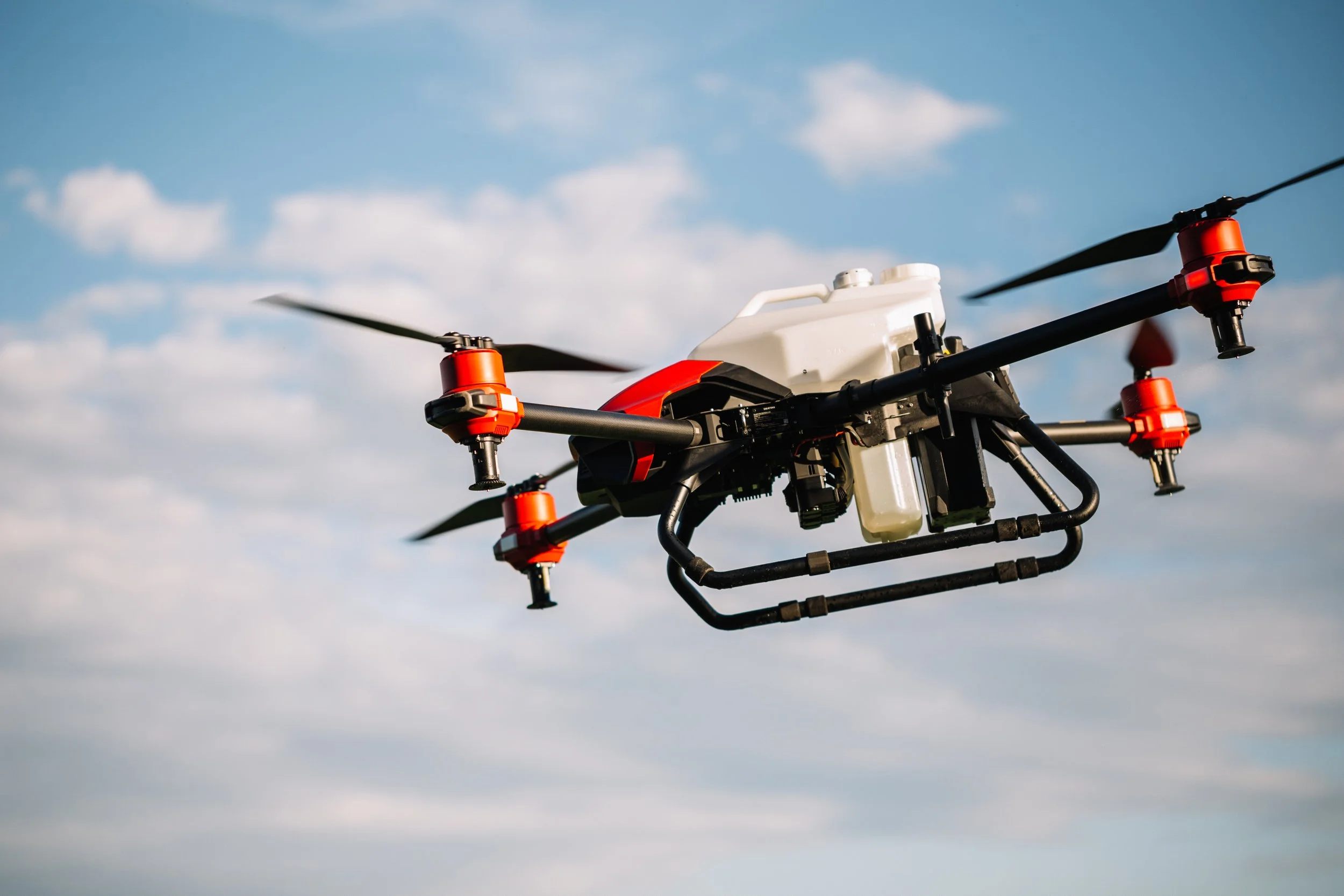
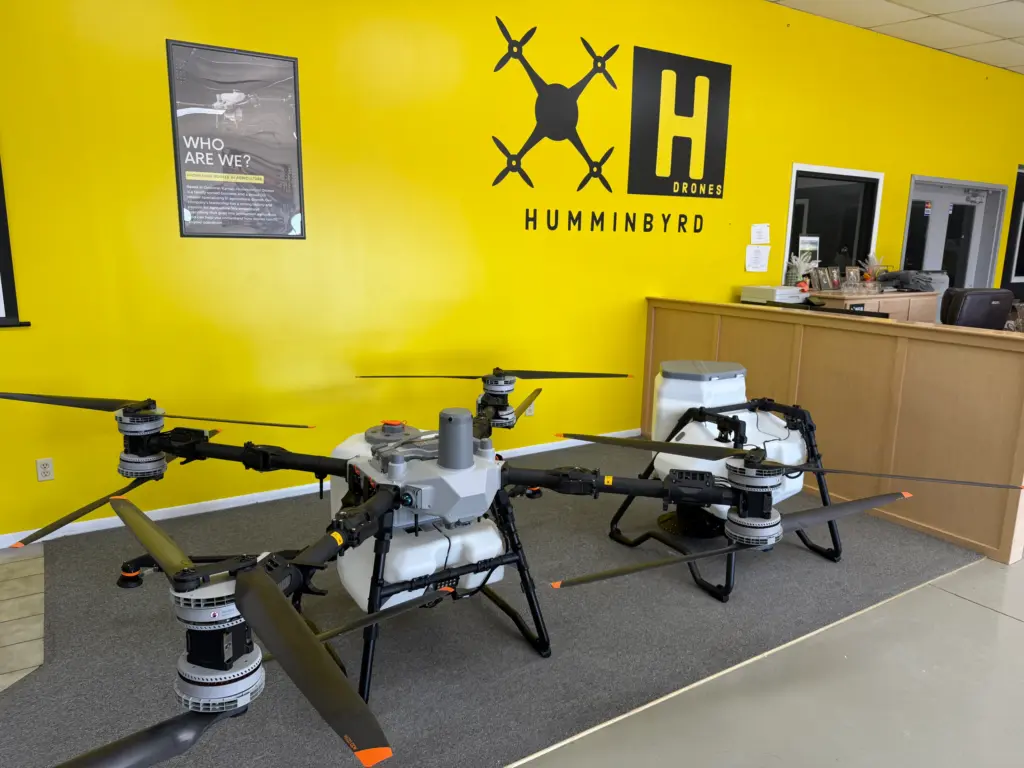
Pilots who spend summers agricultural drone services and scouting local fields learn how a section lays out: where the irrigation ditch cuts across, which gate sticks, and how tall corn looks from the air in August. That familiarity pays off when a search crosses farmland. We still do the everyday work, including crop spraying, field mapping, and stand counts for growers around Lexington, and each season adds a little more local map knowledge no dispatcher could recite.

Drone Sales

Some fire districts and volunteer rescue squads want drone sales services of their own. We can walk through the trade-offs: thermal resolution against price, zoom range, flight time in cold air, weatherproofing, and the weight of a go-bag. Training matters as much as hardware, so we also talk about monthly practice flights, log keeping, and who on the roster should hold the controller. If a purchase turns out to be premature, we can fly for you in the meantime.

Drone Inspection Services in Omaha, NE

Drone Inspections

After a storm, the roof of a barn, bin or house may look wrong from the ground, and nobody wants to send a person up before knowing. A drone can look at the damage from a safe standoff distance. We photograph rooftops, walls, chimneys, grain legs and fallen debris so owners and responders can decide what still looks stable and what looks unsafe. The same camera work supports routine roof and structure checks for drone inspections services, managers and homeowners.

Construction Drone Services

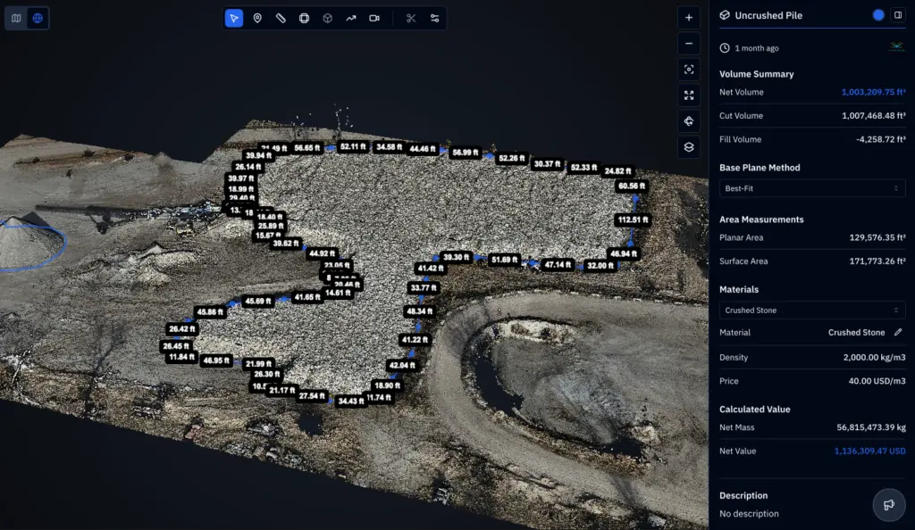
Large building sites hide hazards: open trenches, soft fill, stockpile edges, and standing water after rain. If someone goes missing or gets hurt at the far end of a site, a recent aerial map shows the shortest route and where an ambulance can actually turn around. We create those maps for construction drone services in Lexington as part of regular progress flights, with haul roads, gates, and staging areas marked. A map beats ‘turn left past the second gravel pile.

Search and Rescue

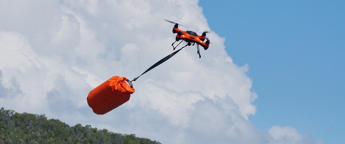
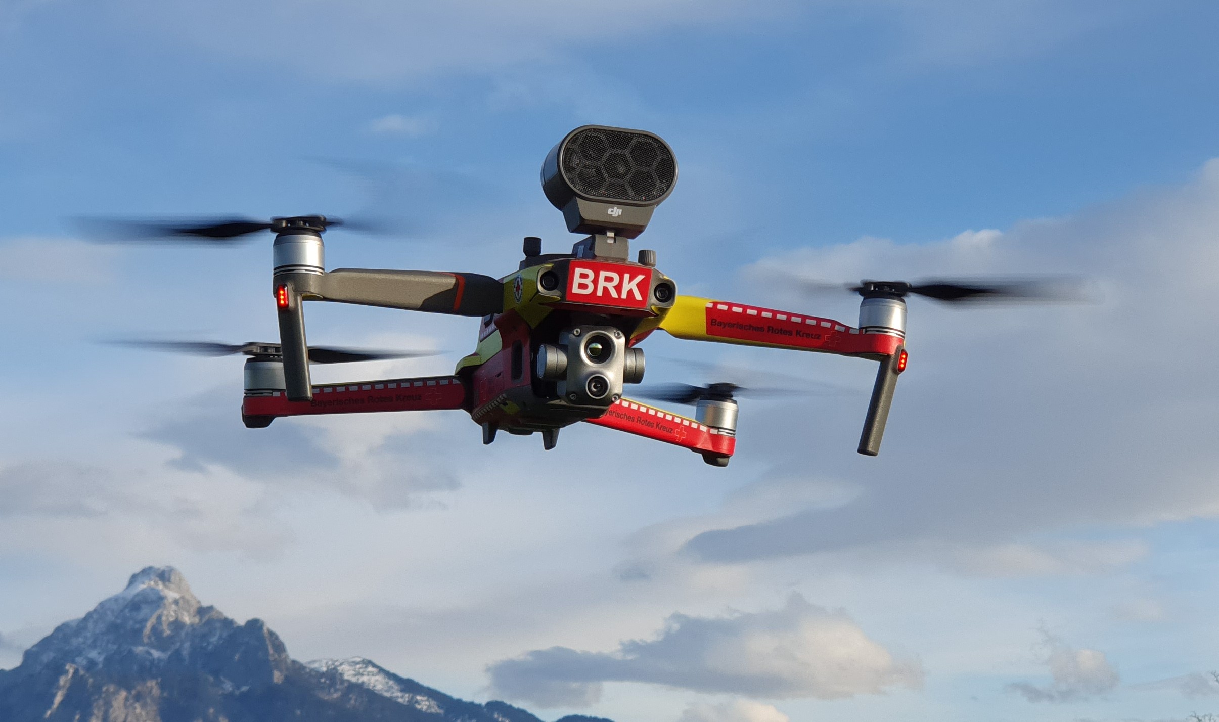
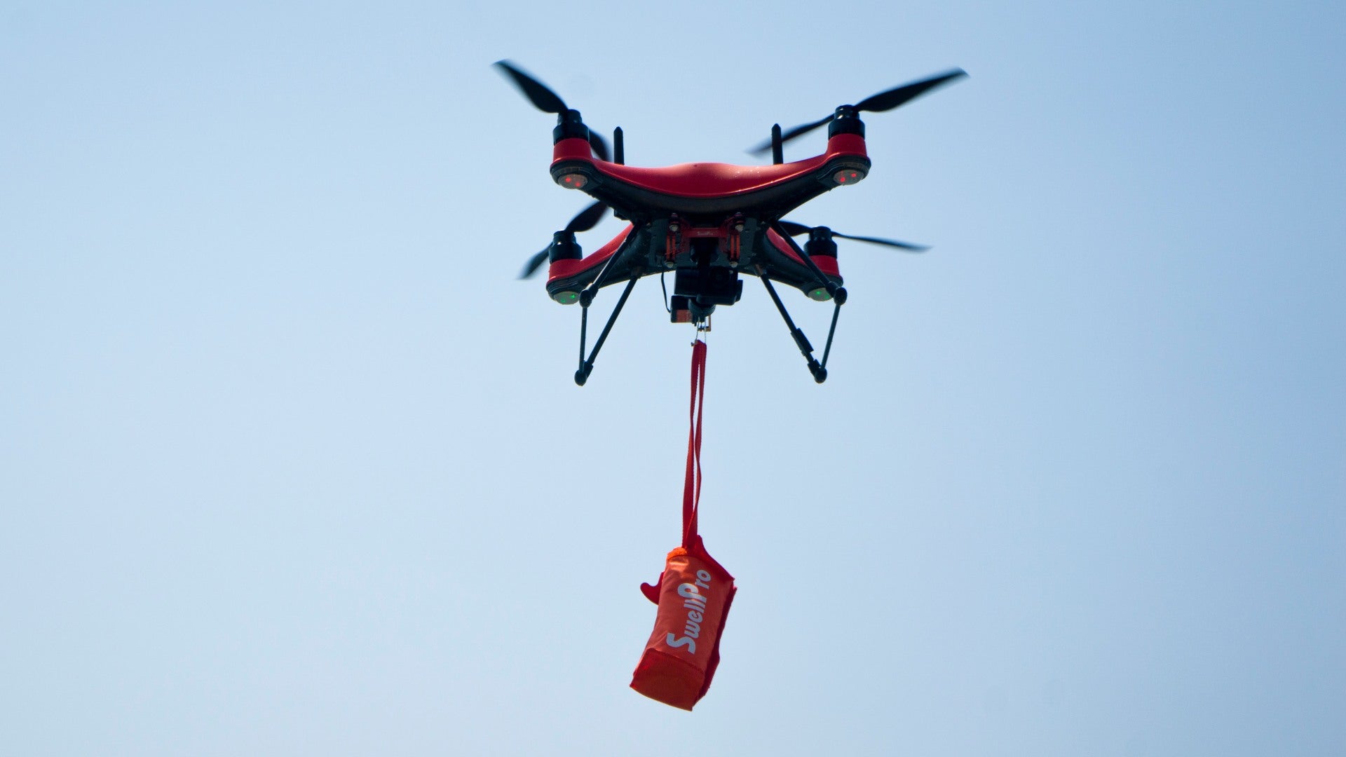
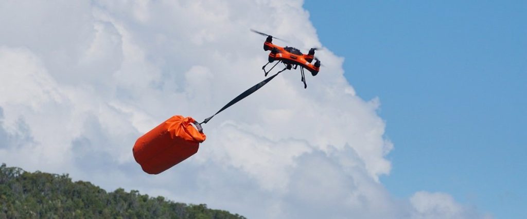
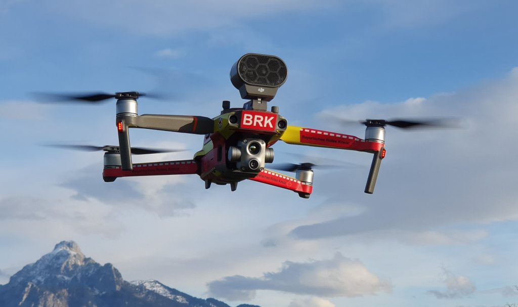
Drone search and rescue services in Lexington cover missing people, lost livestock, and hard-to-reach scenes along ditches, the Platte River, and tall crops. A thermal camera reads heat rather than light, which makes a body or an animal stand out against cooler ground, especially after sundown. A zoom camera confirms what the heat shows. We fly grid passes, keep notes on covered ground, and hand over exact coordinates so responders know where to go.

Search and Rescue Services

LEARN MORE ABOUT US

Who are we?

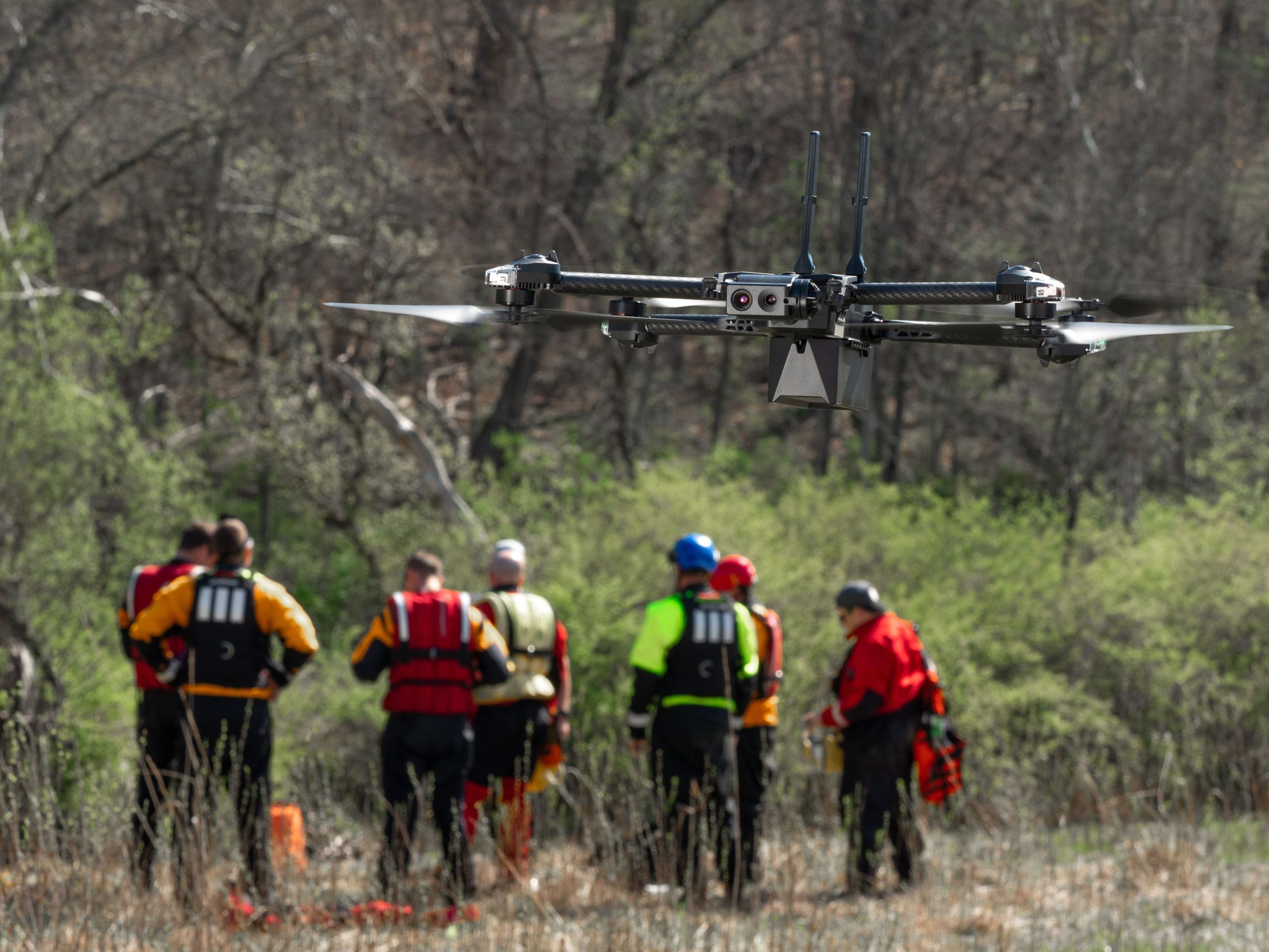
We fly drones. We do not run rescues, and we say so up front. The sheriff’s office, fire district, or whoever runs the scene stays firmly in charge, and our job is to supply the aerial view they ask for. Professional search and rescue services in Lexington, in our view, mean calm radios, accurate coordinates, honest limits, and good notes afterwards. The same discipline from spray days and roof inspections applies here: Check the aircraft, check the weather, and write everything down. Pilots at DroneX Services practice grid patterns and thermal reading around local roads and landmarks, so a call at 2 a.m. is not their first time flying that ground.

Why Choose DroneX Services

A search always has a clock. A person walking at a normal pace covers about three miles in an hour, so the circle around the last known point grows fast while daylight fades and the weather turns. What helps most is a clear picture early. DroneX Services focuses on getting that picture to the people in charge: steady video, plain language, and no guessing about exactly what the camera did or did not see. Here are four reasons families, landowners, and agencies around Lexington make the call early.

Reasons to Trust

We report what the camera confirms and say honestly when it shows nothing. Every flight is logged with times and coordinates for the agency in charge.

Your Best Choice

Our own pilots already know the roads, ditches, and shelterbelts around Lexington from farm and roofing work, so they spend less time getting oriented.

Right Choice for You

Families, landowners, and fire districts need different support. We can scale from one quick flyover to a long grid and from a single call to standby.

Professional

Preflight checks, spare batteries, clear radio habits, and direction from the incident commander. Calm, quiet and focused, even when the scene is loud.

Google Review

Write a Review

Webb Wallace
★★★★★
“Exceptional service! The drone team provided detailed aerial data that made farm management so much easier. Highly recommend their expertise.”
Renae Stringer
★★★★★
“Professional and reliable! Their inspection drones saved us time and gave accurate results we could trust.”
Erik Young
★★★★★
“Outstanding experience from start to finish. The team’s knowledge and technology exceeded our expectations and delivered great results.”

Top Rated Search and Rescue Services in Lexington, NE

Emergency drone search services in Lexington begin with a last known point, a time, and a guess at the direction of travel. From there we fly expanding grids, with overlapping passes. Thermal contrast is strongest after dark and near dawn, when fields and gravel have lost their daytime heat, so we plan around that window. Tall corn blocks heat signals, so we fly the edges, rows, and field roads first and use zoom for anything suspicious. Wind, rain, and fog limit the aircraft, and we tell responders when weather has grounded us. Cold Nebraska nights can turn a search urgent in hours, which is why early information matters. Every flight ends with coordinates, screenshots, and a short written log.

Check Out Our Gallery

Proudly Serving Lexington, NE & Nearby Agricultural Communities

Aerial search services in Lexington cover the Platte Valley floor, the tablelands on either side, and the farm roads in between. Gothenburg and Cozad lie west of town along the interstate. Overton, Elm Creek, and Kearney sit to the east. Sumner and Eddyville are a drive north. Each area has its own problems: canal banks and river islands, shelterbelts that hide a stalled pickup, bean fields that turn to stubble by November, and grain sites with machinery parked around them. No map replaces local knowledge, so we ask landowners and deputies what they have seen. Outside this territory? Call and ask. Distance mostly changes how long we take to arrive.

aerial inspections

Call Us Now

Call 911 first if anyone is in danger. Then, if you want a drone in the air, phone [phone number] and ask for DroneX Services. Tell us exactly where the person or animal was last seen, when, and what they were wearing or doing. Share the name of the incident commander and the agency on scene. Let us know about the terrain, water, power lines and tall crops nearby. Landowner permission matters, so give us a contact if you have one. Questions about drone rescue services in Lexington before an emergency are welcome too, including standby plans for harvest, hunting season, or a large event. We will explain what to expect and what we need from you.

Frequently Asked Questions

How quickly can drone search and rescue teams respond to an emergency in Lexington, NE?

Timing depends on where our crew is, how far the scene sits away from Lexington, and how quickly the request reaches us. Call 911 first, then call us with a last known spot and the incident commander’s name. Staging near the scene saves the most time.

Often, yes. Thermal sensors read heat, so darkness is no real barrier, and cool nights give the best contrast. Dense canopy, hot asphalt, fog and heavy rain reduce it. A zoom camera confirms any heat signature before we radio coordinates to the team.

Drones fly planned grid passes with overlap, so every strip of ground gets seen. A quarter section that takes a ground team hours can be flown far faster. The camera logs its path, which helps commanders see gaps and decide where to send people next.

Partly. Thermal cannot see through leaves or standing corn, so we search edges, gaps, rows and openings first, and use zoom for visual checks. Leafless winter shelterbelts are easier. A good pilot tells responders honestly which areas stay uncertain.

How does live drone video support emergency response teams during a search?

Live video streams to a screen at the command post, so more than one person can watch and call out something the pilot missed. Commanders steer the flight in real time, and the recording lets them review the path afterwards without relying on memory.

Exact GPS coordinates, screenshots of heat signatures, brief notes on terrain hazards like ditches, water and power lines, and a map of ground already covered. We also relay timestamps so the command post knows how fresh each piece of information is.

Yes. After a tornado, flood, or major windstorm, a drone can survey the damaged roofs, blocked roads and bridges, downed trees, debris, and rising water from a safe distance. Crews learn where to go first and which areas are far too risky to enter yet.

Drones keep people out of ditches, river bottoms, shaky structures, and heat while the area gets scouted. They narrow the search so crews walk less, tire less, and spend more energy where it counts. Fewer people in hazardous spots means fewer injuries.

CONTACT US

You Can Contact Us Any Time