Professional Agricultural Drone Services in Omaha, NE | DroneX Services

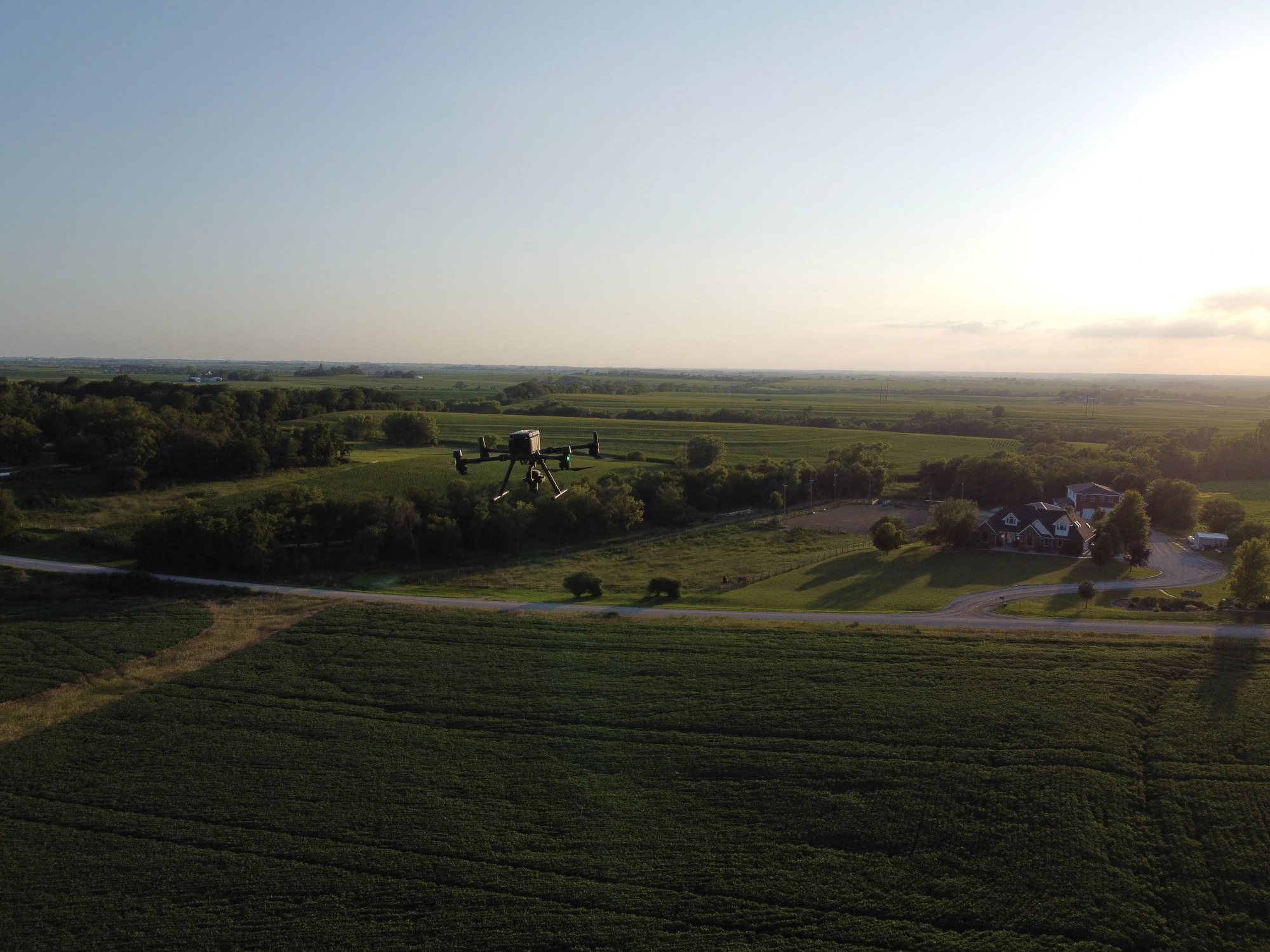
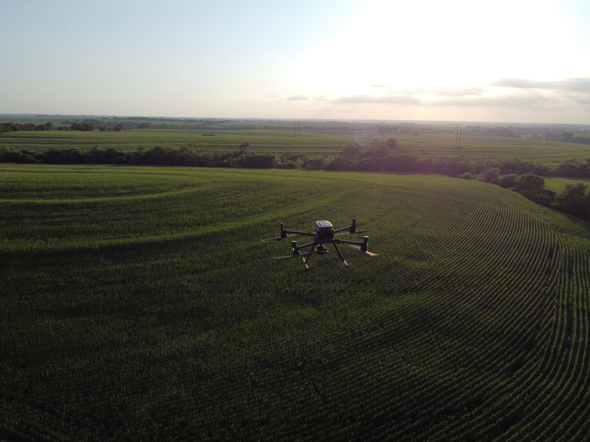
Agricultural drone services in Omaha, NE, have to work around things a Sandhills operator never worries about: subdivisions that border the field, creek bottoms, and the loess bluffs above the Missouri River. Boundaries here are tight. Neighbors are close. DroneX Services flies spraying and mapping missions built for that kind of ground. Power lines and Eppley Airfield approach paths shape our flight lines, so planning matters as much as flying. We read the wind before sunrise, load boundaries before the first pass, and keep spray where it belongs. You get coverage that holds up and a map of what we saw, explained by the pilot who flew it.

agricultural drones
Get a free Estimate

WHAT CAN WE DO FOR YOU?

Check Out Our Services in Omaha

Farm drone services in Omaha cover more than spraying, though spraying is where most conversations begin. The same pilots map fields, document storm damage, inspect drainage structures and farm buildings, and track earthmoving where cropland becomes housing. Below, each service is explained the way it plays out around Omaha, with the season when it tends to matter. Read the one that fits your problem. If none of them does, describe what you are seeing, and we will work out the next step together.

Agricultural Drone Services

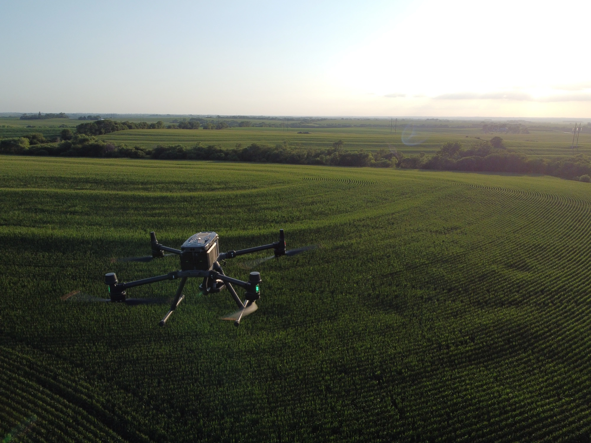
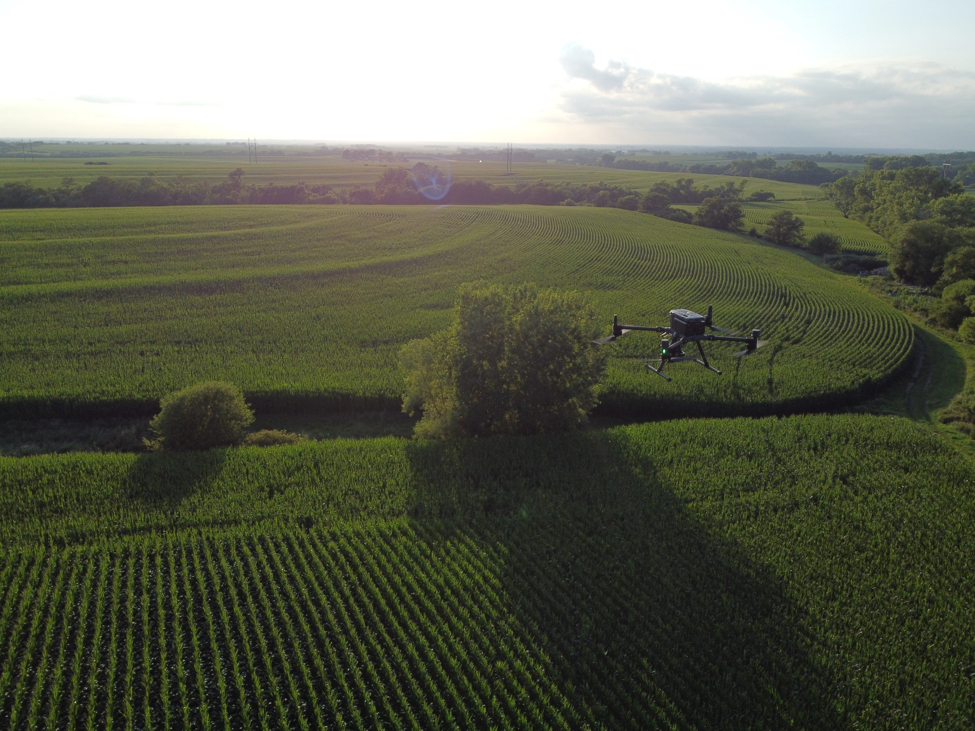
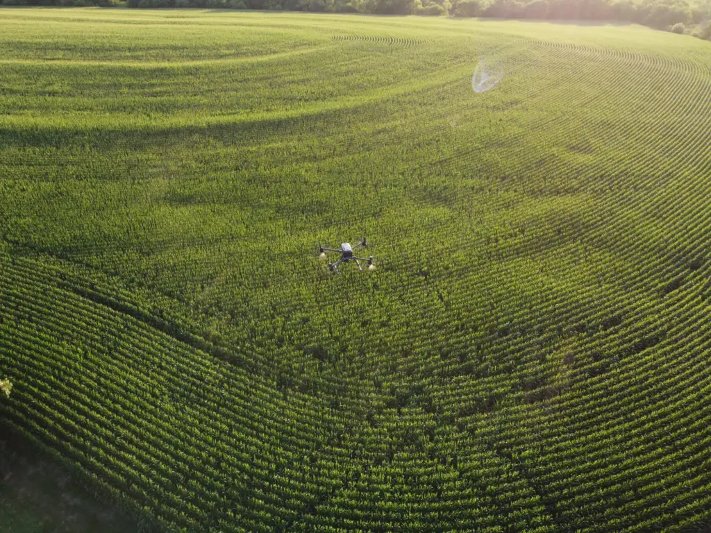
Agricultural drone services spraying in Omaha usually means corn and soybeans, and the calendar is tight. Fungicide goes on around the tassel in mid-July. Waterhemp that survived the last burndown needs a follow-up in late June. Between jobs, agricultural drone mapping in Omaha shows stand gaps, standing water, and nutrient stress before anyone walks the rows. Product choice and rate stay with you and your agronomist. We handle the flying and the records.

Drone Sales

An agricultural sprayer drone sale in Omaha costs more than most buyers expect, and the aircraft is only part of the price. Loaded spray drones often weigh more than 55 pounds, which pushes them past the standard Part 107 limit and into FAA exemption paperwork. Add Remote ID, registration, an applicator license, batteries, and a field generator, and the real budget appears. Our drone sales conversations start with that list, so season one goes smoothly.

Drone Inspection Services in Omaha, NE

Drone Inspections

Drone inspections in Omaha trade hours of legwork for clear footage. A grassed waterway cut by spring rain, a washed-out terrace, a tile outlet that stopped draining, and a bin roof that took a hit: each one shows up in a single pass. Nobody has to wade a ditch or walk eighty acres first. After a storm line crosses the Missouri valley, we can also document lodged corn and bruised soybeans, which gives you dated photos when the crop insurance call comes.

Construction Drone Services

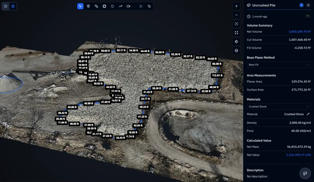
Construction drone services in Omaha follow a metro growing into old farm fields, especially in Sarpy County. Before a dozer moves, we fly the existing ground for a baseline. Weeks later, a second flight shows how much dirt shifted, whether cut and fill match the plan, and whether the silt fence still holds. Sites disturbing an acre or more fall under stormwater rules from the Nebraska Department of Environment and Energy, so dated records help.

Search and Rescue

Emergency drone search in Omaha is as much about terrain as it is about cold. River-bottom timber and wooded bluffs hide people in ways open fields never do, and a January night makes every hour count. A drone with a thermal camera can sweep a wooded draw while ground teams are still organizing at the trailhead. We fly at the request of responders and stay out of their way. If you are coordinating a search, reach us as soon as you know it is on.

drone farming

LEARN MORE ABOUT US

Who are we?

Anyone searching for an AG drone in Omaha is usually trying to solve something specific: a field too wet to drive, a weed patch that keeps coming back. DroneX Services was built around those problems. Agriculture is where much of our flying happens, and that shapes how we plan a job. A typical Omaha-area job is eighty acres with a subdivision on one side and a creek on the other. First comes a conversation about the field and the goal. Then a flight plan, a weather check, and a date. Afterward, you receive the map or spray record with a short note on what stands out. Nothing gets sprayed until the product, the label, and the weather all agree.

Why Choose DroneX

Growers shopping for farm drone services in Omaha tend to ask the same few questions. Who is flying? What happens if the wind picks up? Where does the data go afterward? Fair questions, all of them. We would rather answer those before the job than after. A drone is easy to oversell, so we keep promises small and specific: when we will fly, what you will receive, and what we leave alone without your agronomist’s sign-off. The four points below show, in short, how DroneX Services handles each one.

Reasons to Trust

Every flight is logged with the date, field, product, wind speed, and pilot, so a neighbor or agronomist who asks what happened gets a real answer.

Your Best Choice

We plan around how Omaha-area farming actually looks: tight field edges, mixed zoning, and creek crossings that wash out after heavy spring rain.

Right Choice for You

Fifty acres, or five hundred, you get a plan sized to the job, with flight dates, product coordination, and delivery format settled in writing first.

Professional

Professional means paperwork you can ask to see: FAA certification, airspace authorizations where needed, and applicator licensing for spray work.

Google Review

Write a Review

Webb Wallace
★★★★★
“Exceptional service! The drone team provided detailed aerial data that made farm management so much easier. Highly recommend their expertise.”
Renae Stringer
★★★★★
“Professional and reliable! Their inspection drones saved us time and gave accurate results we could trust.”
Erik Young
★★★★★
“Outstanding experience from start to finish. The team’s knowledge and technology exceeded our expectations and delivered great results.”

Top-Rated Agricultural Drone Services in Omaha, NE

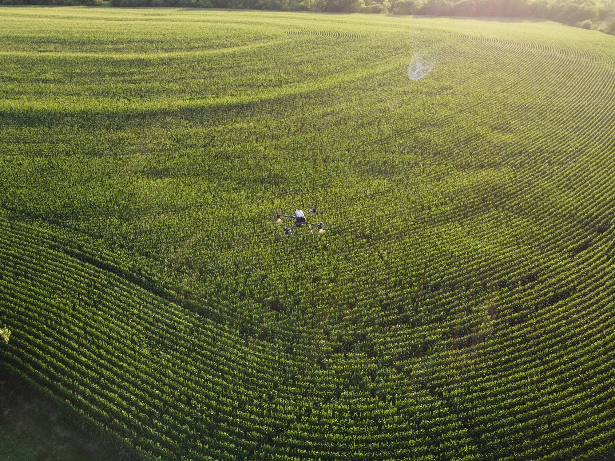
Crop spraying in Omaha comes with a short list of rules and an even shorter list of good days. Labels cap wind speed, often near 10 miles per hour, and an early-morning inversion can carry fine droplets farther than anyone intends. On a fringe farm with houses on two sides, that matters, so our pilots watch the forecast hour by hour and set buffers before takeoff. Drone application lets us treat wet ground after a heavy May rain, hit waterhemp patches without covering the whole field, and time fungicide for tassels. Musk thistle along fence lines and pasture edges is a regular target too. Your agronomist picks the product and rate. Our job is to place it accurately and log where it went.

Check Out Our Collaborations

Proudly Serving Omaha, NE & Nearby Nebraska Communities

Our agricultural drone services in Omaha reach beyond the city limits. We fly in Douglas County and across the line in Papillion, Bellevue, and Gretna. West of the city that means Elkhorn and Waterloo. North, we cover Bennington, Blair, and Washington County farms, and to the south we reach Plattsmouth. Larger jobs near Fremont are worth a call. Across Douglas, Sarpy, and Washington counties, inside the Papio-Missouri River Natural Resources District, the ground ranges from level river bottoms to terraced loess hills. Flood years like 2011 and 2019 left silt and ponded water on the bottoms, and mapping flights earned their keep in those seasons.

DroneX provides agricultural drone services in Lincoln, NE, with advanced aerial mapping

Call Us Now

Call DroneX Services about agricultural drone spraying in Omaha before the weeds get ahead of you. Spray windows in this part of Nebraska close fast, and waterhemp does not wait for a convenient week. Have the field location or a parcel number handy, plus the crop, the acres, and the product your agronomist chose. Not sure what you need? Describe the symptom: pale streaks, thin spots, a weedy corner, and a ditch that holds water after rain. If you only want a map, say so. Mapping flights usually goes best on clear days around midday, so booking early helps. We will check the airspace, look at the forecast, and call you back with a date and a price.

Frequently Asked Questions

What Are the Benefits of Using Agricultural Drone Services in Omaha, NE?

Agricultural drone services in Omaha, NE, give you speed, precision, and records. A drone can treat a field on the day it needs treatment, even when the ground is too soft for a ground sprayer. It reaches awkward corners beside creeks and houses where a large rig struggles. Every flight produces data, from boundaries to treatment logs, so decisions rest on what was actually applied. And because the aircraft stays above the crop, there is no wheel traffic through standing corn or soybeans.

Agricultural drones in Omaha monitor crop health with a multispectral camera that records how much red-edge and near-infrared light a crop reflects, and healthy leaves reflect a lot of it. Software turns that into an NDVI-style map where stressed areas stand out in color. Around Omaha we time flights to growth stages, such as corn from V8 to tassel and soybeans from R1 to R3. Comparing flights two weeks apart shows whether a pale patch is spreading, which tells you where to scout on foot first.

Often, yes. Most cropland around Omaha depends on rainfall, but irrigated fields exist in the Platte River valley, and an ag drone in Omaha can spot a clogged pivot nozzle or broken sprinkler by the pattern it leaves. Thermal and multispectral sensors show uneven moisture, while plain high-resolution imagery picks up stripes and pale arcs. The same maps reveal the opposite problem too: wet spots over a failing drainage tile. Drone data points to the problem. A visit to the field confirms the cause.

Agricultural drone mapping in Omaha picks up thin or uneven stands, weed escapes such as waterhemp patches, standing water, wind lodging, and hail bruising. Plant-vigor maps can also flag nitrogen stress after a wet June and early disease pressure such as tar spot or sudden death syndrome, though those need confirmation on foot. Compaction lines from old wheel tracks and trouble along headlands show up as well. Treat the map as a priority list for scouting. A diagnosis still needs boots in the field.

How Accurate Is Agricultural Drone Mapping for Omaha Farms?

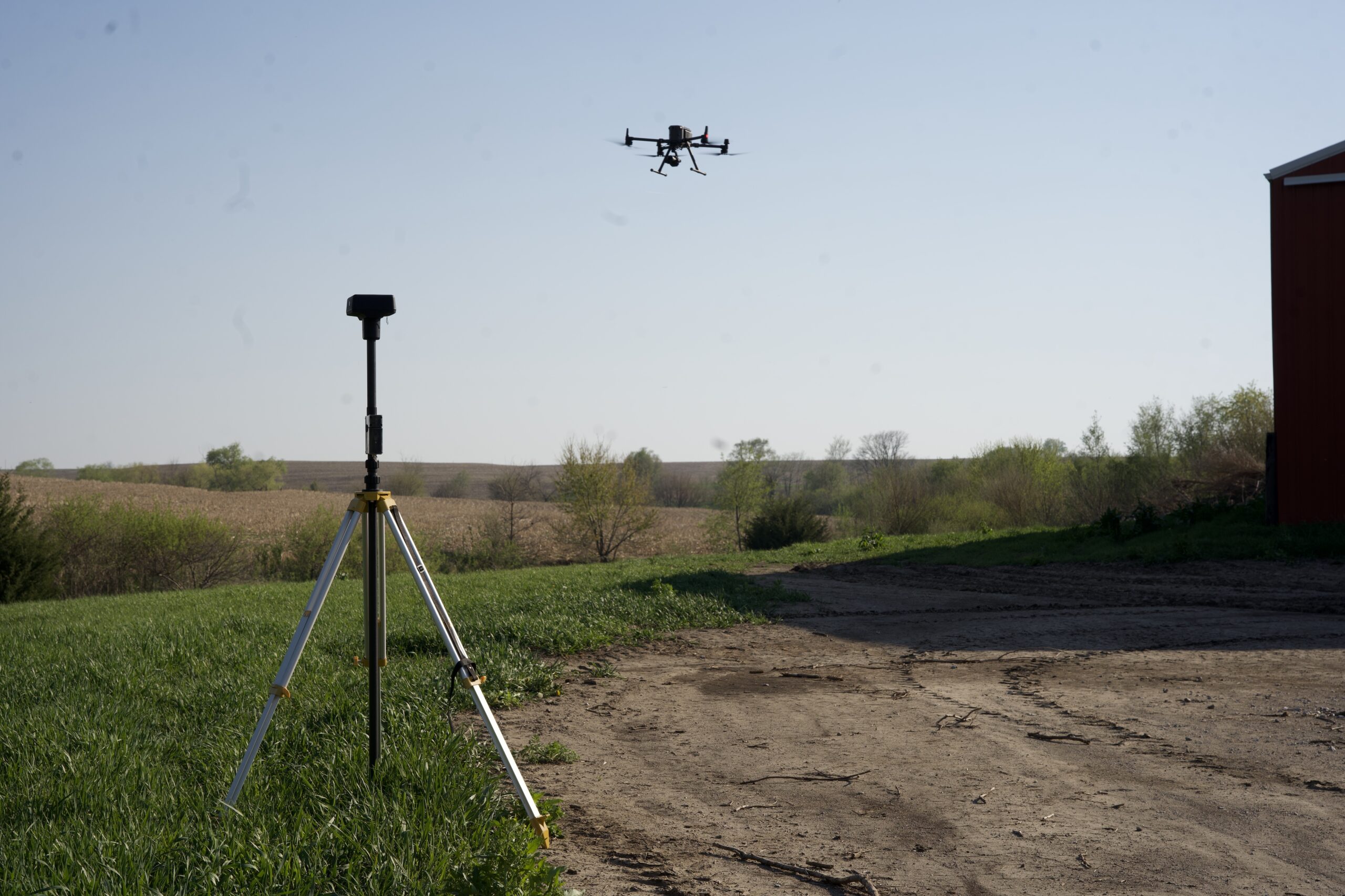
Agricultural drone mapping in Omaha is accurate enough for scouting, though the exact figure depends on the equipment and setup. At a typical mapping height, ground resolution runs roughly one to three centimeters per pixel. Position accuracy is a separate question: an RTK-equipped drone or surveyed ground control points can hold a map to within a few centimeters, while a GPS-only flight may drift by several feet. For scouting and management zones, that is usually plenty. If you need survey-grade numbers, we will lay out what the setup requires and what it costs.

Yes, farm drone services in Omaha support precision farming. Imagery and vegetation-index maps can feed management zones, and those zones can guide variable-rate seeding, nitrogen, or spray decisions once your agronomist builds the prescription. We deliver maps in common formats such as GeoTIFF and shapefile, which most farm management software opens. Drone layers work best alongside yield maps, soil samples, and your own field notes, because each one covers a blind spot in the others.

Crop spraying in Omaha wastes product through overlap, skips, and treating a whole field for a problem that covers a tenth of it. A drone can follow a map and treat only the affected zones, and GPS-guided flight lines keep passes tight with no double coverage at the headlands. Fewer trips with a heavy sprayer also means less diesel. Liquid foliar feeds suit an agricultural sprayer drone in Omaha, while granular fertilizer calls for a spreader. Savings vary by field and product, so we do not promise a percentage.

To book agricultural drone services in Omaha, NE, call or send a message with the field location, acreage, crop, and what you want done: spraying, mapping, or both. A parcel number or dropped pin works. We then check the airspace, since parts of the Omaha area sit under controlled airspace tied to Eppley Airfield and Offutt Air Force Base, and some flights need FAA authorization. Spray jobs are scheduled around crop stage and wind, mapping flights around sun angle and cloud cover. You get a proposed date, a price, and a delivery format before anything is booked.

CONTACT US

You Can Contact Us Any Time