



LEARN MORE ABOUT US
Who are we?
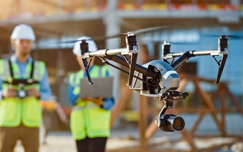
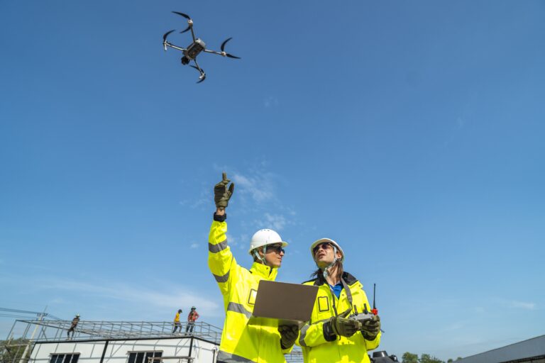
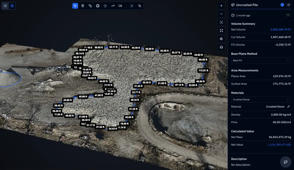
A Nebraska drone operator, DroneX Services spends as much time with survey files as it does with propellers. Construction customers need numbers they can use: volumes, elevations, distances and dates. So we deliver data in formats that designers and estimators already work with, and we explain how to read it. Our pilots also fly farm, inspection, and search missions, which keeps their eyes sharp for details like erosion lines, standing water, and unstable ground. Bring us a site plan, a question, or a problem that has stalled your build schedule. We will start there. We will say plainly where a drone map stops being the right tool for the task.