Agricultural Drone Services in Lexington, NE | Crop Spraying & Field Mapping by DroneX Services

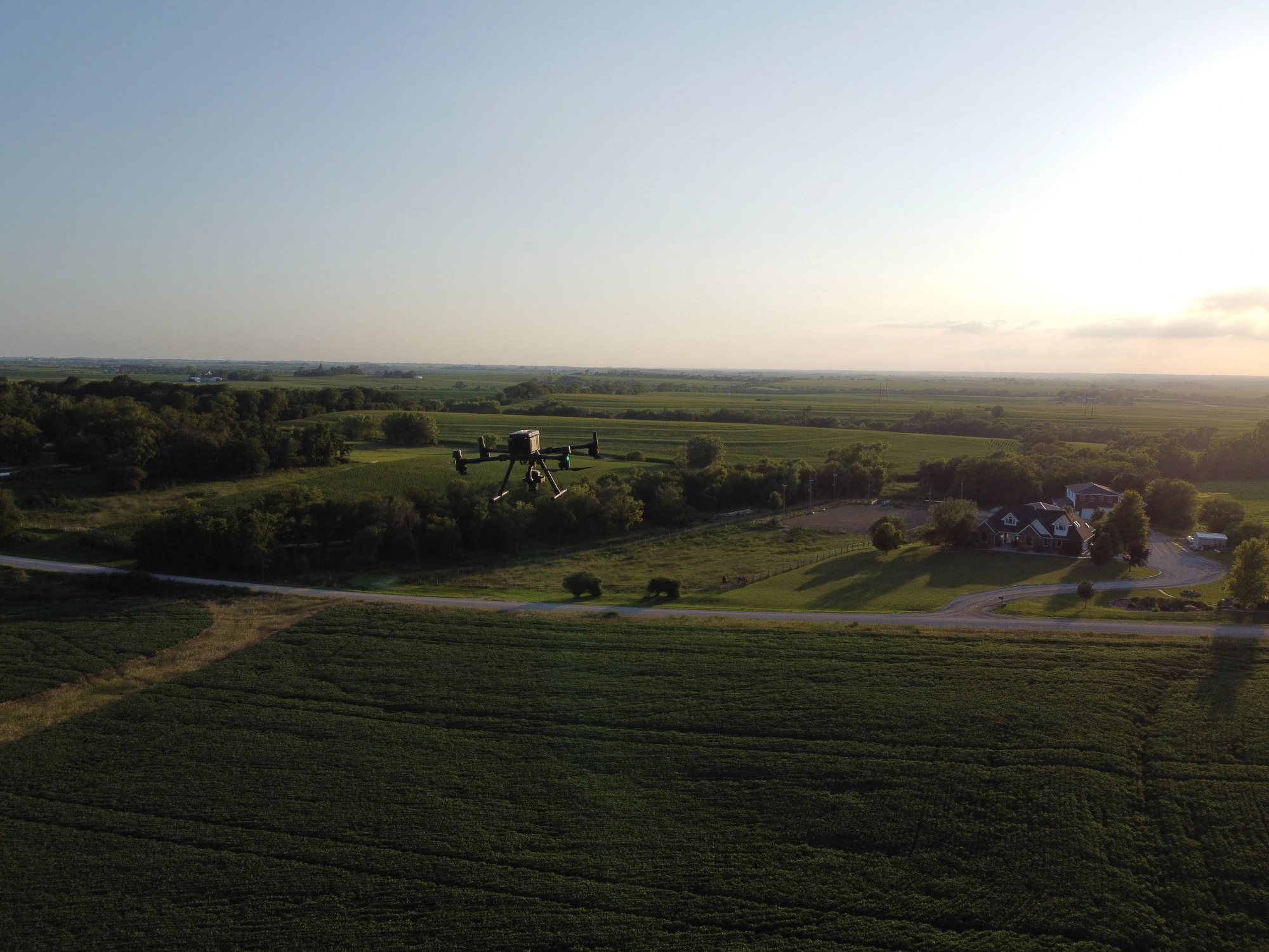
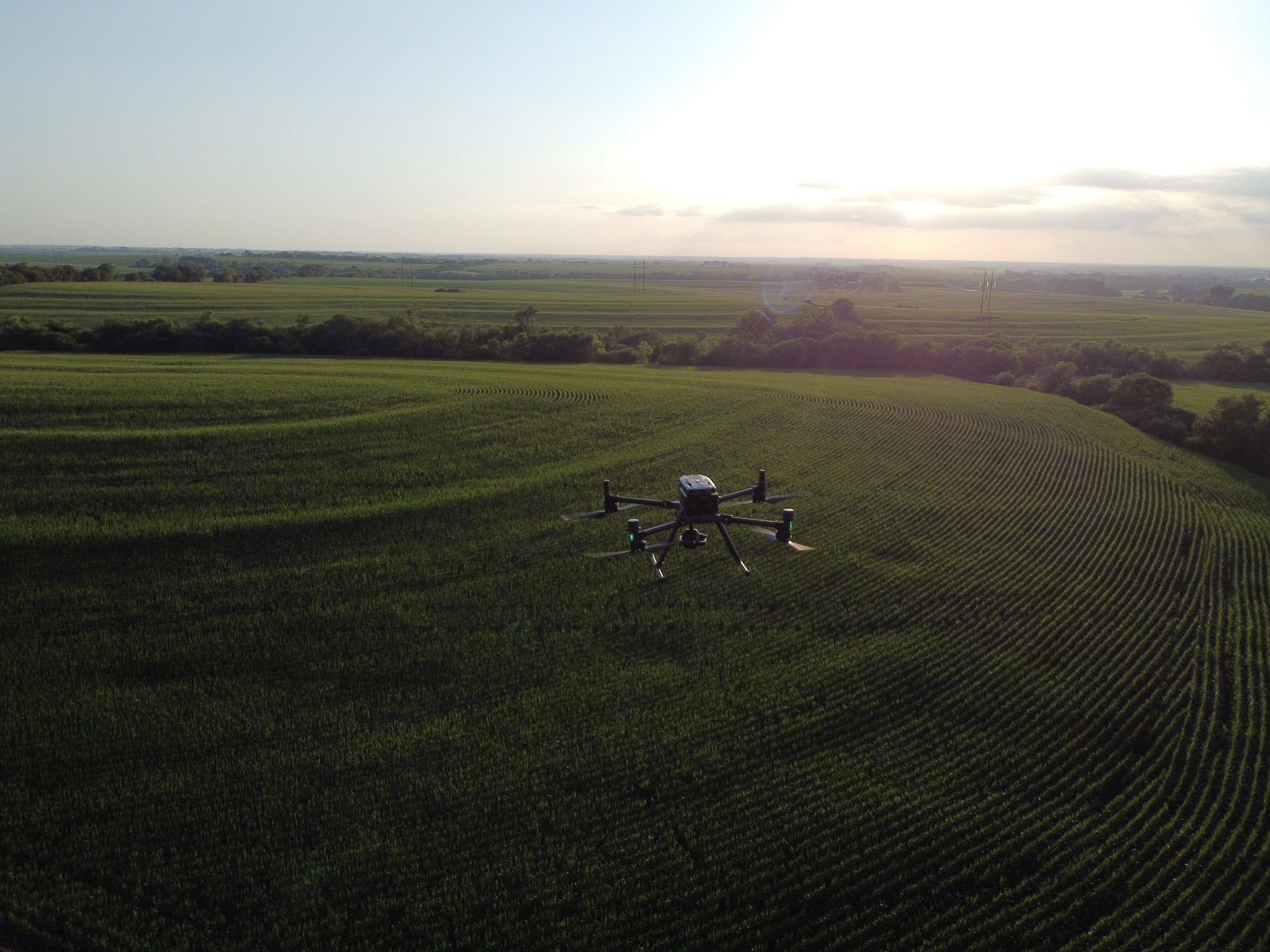
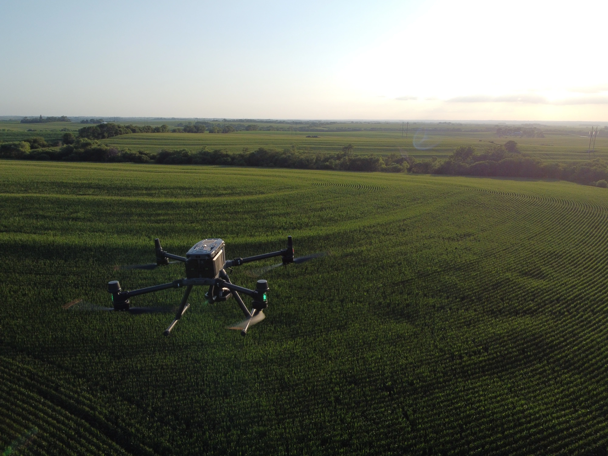
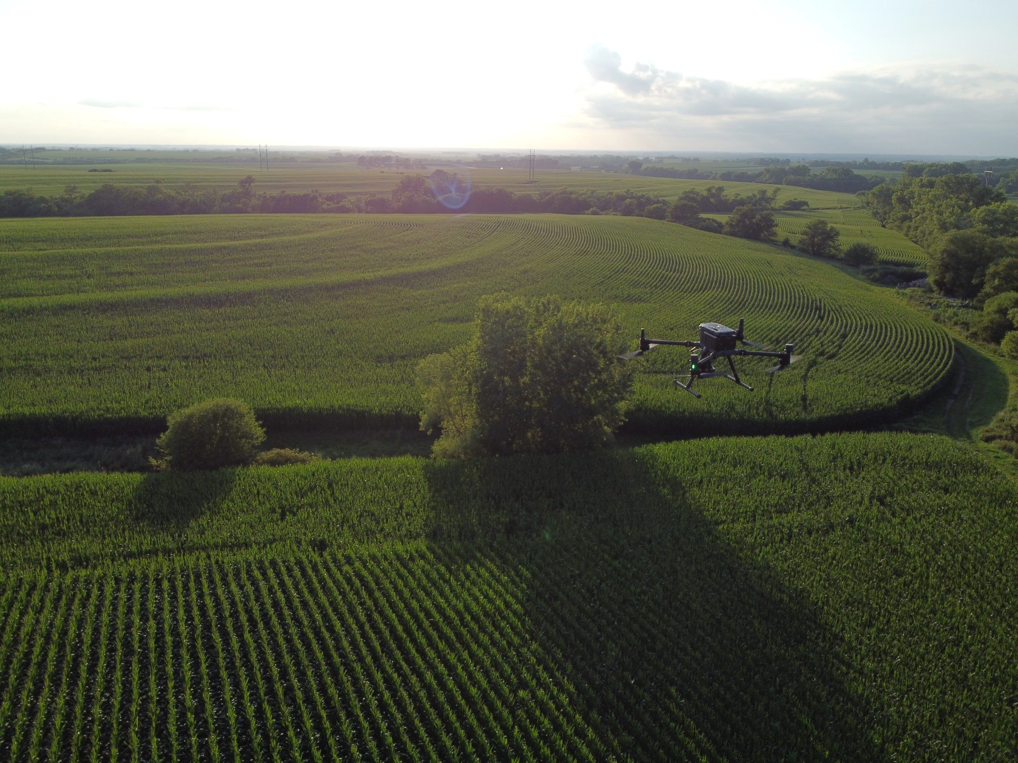
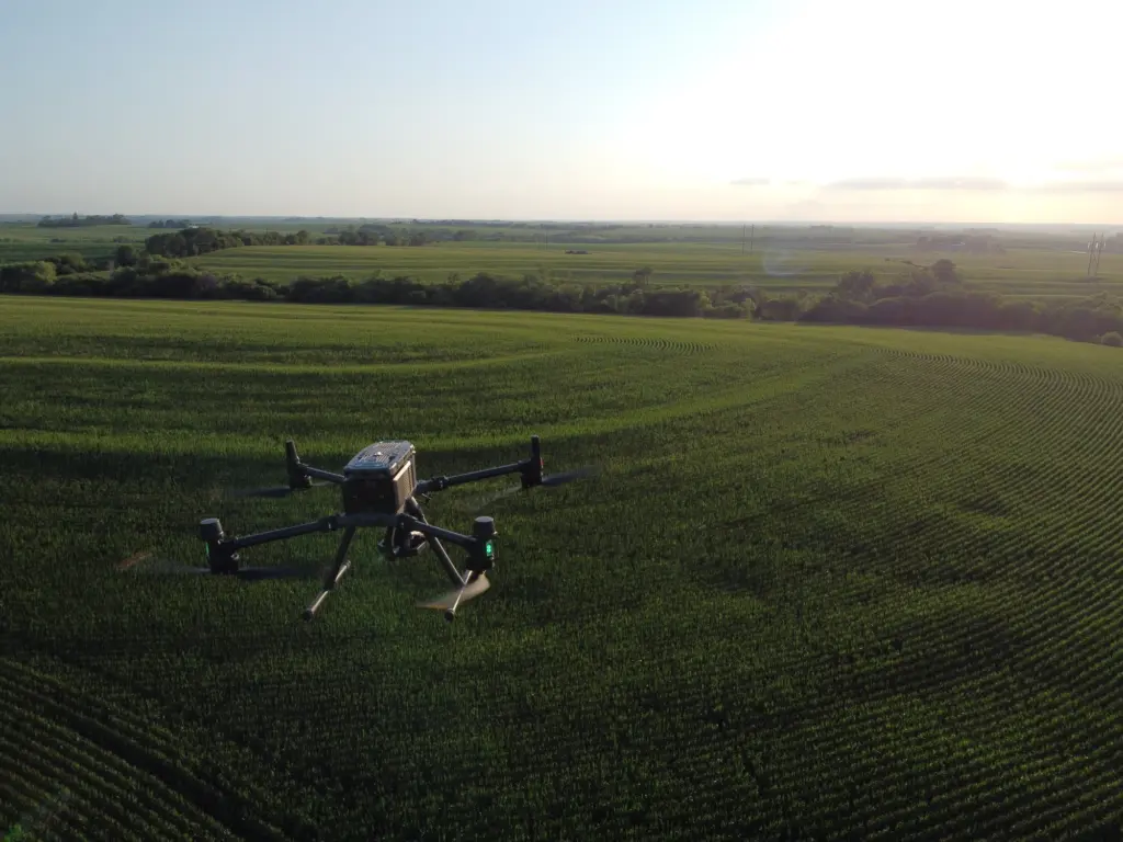
Agricultural drone services in Lexington, NE, fill the gap between walking the rows and waiting on a plane. DroneX Services puts a sprayer or mapping aircraft over your corn, soybeans, alfalfa, or pasture when crops need attention, not when the ground finally dries enough for a rig. Need crop spraying in Lexington before the wind picks up? We plan around that, setting wind limits and field boundary lines before launch. Wondering why one pivot corner looks pale from the road? A mapping flight can show you what is happening underneath. Give us the crop, the acres, and the problem, and we’ll tell you straight what a drone can fix and what it can’t.

 
farm drone technology
Get a free Estimate

WHAT CAN WE DO FOR YOU?

Check Out Our Services in Lexington, NE

Farm work is only one slice of what we do from the air. The same team handles drone sales, inspections, construction progress flights, and search missions, so an operation that starts with a spray job often finds other uses for us later on. Look through the five services below. Each one is built around a different kind of problem, and each one starts with a plain conversation about what you need to see, cover, or find. If none fits exactly, ask anyway. Custom flight plans are part of the job here.

Agricultural Drone Services

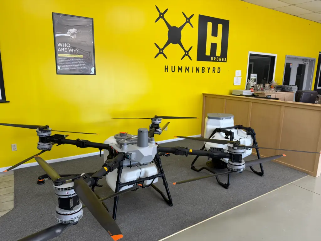
Agricultural drone services in Lexington covers herbicide, fungicide, insecticide, and foliar feed. Flights follow label rates and buffer rules. Our agricultural sprayer drone in Lexington reaches tight corners, wet ground and fields too soft for a boom. Between sprays we also fly mapping and scouting missions, which show where stress is building before the whole field pays for it. Every single pass leaves a record of product, rate, and conditions.

Drone Sales

Hiring us might not be your long-term plan, and that is fine. If you would rather own the aircraft, we help farm owners, ag retailers, and custom applicators sort through payload, battery logistics and field-side charging before anyone talks about price or brands. A drone sales service that looks great on paper can struggle through a Nebraska August afternoon. We would rather you hear that from us first. Setup and basic training get covered in that same conversation.

Drone Inspection Services in Omaha, NE

Drone Inspections

Hail moves through the Platte Valley fast, and an adjuster wants evidence. We fly roofs, grain bin tops, center pivot spans, irrigation pipe runs, and shelterbelt edges with a camera that zooms close enough to read hardware for accurate aerial inspections. Nobody has to climb a ladder or walk a wet pivot track. You get a clean, labeled photo set and a short written summary you can hand to an insurer, a contractor, or a landlord. Photos are tagged with the date, time and location.

Construction Drone Services

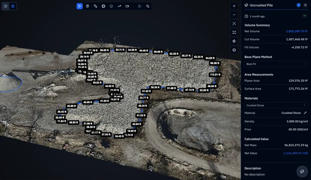
Farm builds get complicated fast: a new machine shed, a grain bin pad, a feedlot expansion, and a pivot installation. We fly construction drone services of the site before dirt moves, then again as the work progresses, producing orthomosaic maps and elevation models. Those show grade, drainage paths, and stockpile volumes in real numbers instead of guesses. Repeat flights show what changed each week. Contractors, owners, and lenders alike use the same files, so everyone argues less.

Search and Rescue

Standing corn runs eight or nine feet tall by August and hides a missing person, a child, or a stray calf from the road. Our drone search and rescue services in Lexington use a thermal camera to pick up heat signatures the eye misses, best at dawn and dusk when the air has cooled, and it can sweep a quarter section faster than a line of people on foot. We support searches for missing people and livestock, and we stay out of the way of crews already on scene. Landowner permission comes first, each time.

DroneX provides agricultural drone services in Lincoln, NE, with advanced aerial mapping

LEARN MORE ABOUT US

Who are we?

Five kinds of work keep DroneX Services busy in Nebraska: agricultural flights, aircraft sales, inspections, construction surveys and search support. That mix means our pilots see a lot of different terrain and a lot of different problems, and they carry what they learn on one job into the next. We keep paperwork tidy, flight logs complete and communication short and clear. Growers do not need a lecture on aerodynamics. They need to know when the drone is coming, what it will do, and what it will cost. Ask us anything about agricultural drone services in Lexington before you book. A solid working relationship always starts with honest answers.

Why Choose DroneX Services

Plenty of companies own drones. Fewer understand what a pivot-irrigated cornfield asks of one in late July, when the canopy is thick, the heat is climbing and a missed spray window costs money. DroneX Services puts planning before takeoff and documentation after landing, and we remain reachable during the weeks when growers have no time to chase a vendor. Here are four things that tend to matter most to the farmers and landowners around Lexington when deciding who gets to fly over their ground.

Reasons to Trust

Each flight leaves a log: product, rate, wind, time and field boundaries. If an agronomist or neighbor asks questions later, you already have answers.

Your Best Choice

One crew can scout, map and spray the same field, so the data stays consistent from the first flight through the last application of the whole season.

Right Choice for You

Forty acres or four hundred. One pass or a full-season plan. We size the job to your operation, and we say so early on when a drone is the wrong tool.

Professional

Checked equipment, a written flight plan and clear communication before every flight. You will know the timing, the weather limits and what to expect.

Google Review

Write a Review

Webb Wallace
★★★★★
“Exceptional service! The drone team provided detailed aerial data that made farm management so much easier. Highly recommend their expertise.”
Renae Stringer
★★★★★
“Professional and reliable! Their inspection drones saved us time and gave accurate results we could trust.”
Erik Young
★★★★★
“Outstanding experience from start to finish. The team’s knowledge and technology exceeded our expectations and delivered great results.”

Top-Rated Agricultural Drone Services in Lexington, NE

Farm drone services in Lexington follow the calendar. In April and May we map low spots and drainage paths so you know where water will sit after a hard rain. Stand counts in early summer show which acres emerged unevenly. By July, fungicide passes at tassel timing are the big one, and a drone can run them when ground rigs would crush plants or sink to the axles. Late-season scouting catches disease pockets and lodged corn before harvest crews roll in. Agricultural drone mapping in Lexington also feeds variable-rate decisions, since you can hand the maps to your agronomist or retailer. A drone does not replace your agronomist. It gives them better eyes. Field notes carry over between visits.

Check Out Our Collaborations

Proudly Serving Lexington, NE & Nearby Agricultural Communities

From the pivot fields east of town to the farms around Cozad, Overton and Elm Creek, we cover agricultural communities along the Platte River and Interstate 80. We also take calls from Gothenburg, Sumner, Eddyville and as far east as Kearney. Dawson County ground runs from river bottoms to the loess tablelands on either side of the valley, and each behaves differently under a spray drone. Lexington sits where U.S. Highway 283 crosses the interstate, so most of Dawson County is an easy drive. If you search for an ag drone in Lexington and want someone local, this is the list of towns we work around most. Don’t see yours? Please call us anyway.

agricultural drones

Call Us Now

Ready to talk about crop spraying, mapping, or a season-long plan? Call DroneX Services at [phone number] and have a few details handy: the field’s location or boundary file, the crop, the acres and the problem you are trying to solve. A product label or a target date helps too. We will check what is realistic, flag any weather or buffer-zone issues, and put a quote together. Prefer to write? Send those details through our contact page and we will reply with questions, a quote or both. Mapping-only jobs are fine. Spring and summer spray windows fill quickly, so reaching out early gives you more flexibility. No field is too small to ask about.Call us for a free quote; we are available for on-location missions across Lexington and the surrounding areas.

Frequently Asked Questions

What are agricultural drones used for in farming in Lexington, NE?

Spraying herbicide, fungicide and insecticide, mapping entire fields, counting stands, scouting for stress, checking irrigation and surveying drainage. Around Lexington, pivot-irrigated corn and soybeans are the most common targets for these flights.

Multispectral cameras record how plants reflect sunlight. The resulting vegetation index maps reveal stress before it shows from a truck window. A crew member then walks the flagged spots to confirm if the cause is disease, water, pests or nutrients.

Not directly. A drone doesn’t measure soil the way a probe does. Thermal and multispectral maps show patterns linked to wet spots, compaction and drainage trouble, which tell you where to pull soil samples and where to leave things well enough alone.

Flights reveal uneven coverage under a pivot, ponding in low corners and crop stress along a clogged or leaking span. Thermal imagery adds another layer by showing cooler, wetter ground against hotter, drier arcs, so repairs happen sooner, not later.

What are the benefits of using agricultural drone services in Lexington, NE?

Spray reaches wet or soft fields without leaving tracks, tight corners get covered, timing follows the weather window and every pass gets logged. You also see problem areas on a map, which helps you decide where to spend the product and where to skip it.

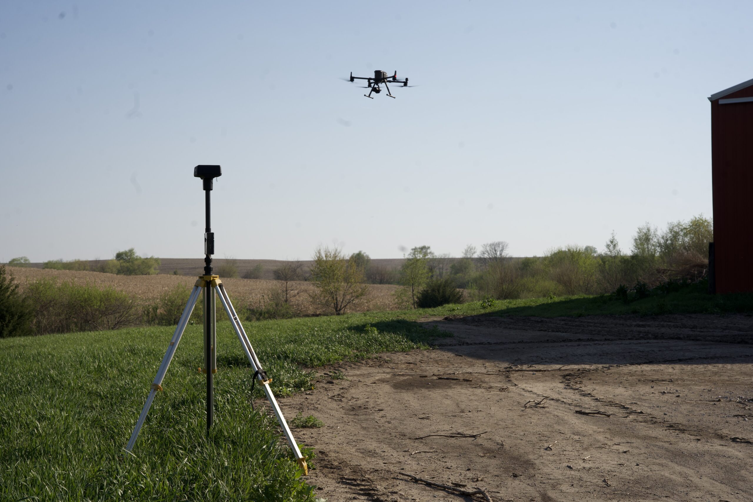
With RTK positioning, mapping data is commonly accurate to within a few centimeters, and imagery at typical flight height resolves about one inch per pixel or finer. Findings still get checked on the ground before anyone makes any treatment decision.

Yes, as one input among several. Maps rank problem areas so you can decide where to scout, spot spray or replant. Pair them with your agronomist’s advice, soil tests and yield history, and the decisions get better grounded than a quick drive-by look.

Price depends on acreage, crop, product, field shape, distance, and timing. Spraying and mapping are usually quoted as separate line items. Call us with your field details, and we’ll build a quote around your acres instead of a generic one-size rate.

CONTACT US

You Can Contact Us Any Time