Search and Rescue Services in Norfolk, NE | Thermal Drone Searches on Land & River by DroneX Services

Search and rescue services in Norfolk NE, cover more kinds of ground than most people expect: city parks and trails, the wooded banks of the North Fork of the Elkhorn River, farm fields, feedlots, and the quiet roads between them. DroneX Services flies a thermal drone over whichever terrain a search covers, then reports what the camera sees to those in charge. Anyone in immediate danger needs 911 first. Once responders are on scene, or when you are planning ahead, call us, and our team will go over what a drone realistically adds. Tell us the exact location, the time, and the weather. We work under the direction of the agency running the search.

Search and Rescue
Get a free Estimate

WHAT CAN WE DO FOR YOU?

Check Out Our Services in Norfolk, NE

Not every call we take is an emergency. Most are about hail damage, spray windows, site maps, or a first drone purchase, and those everyday jobs keep pilots and aircraft ready for the rare night when a search is called for. Five services are listed below. Landowners and public safety teams will each find a card that fits their needs. Browse them in any order, or go to the last card if you are here because someone’s missing. Our team would rather answer a question early than miss a chance to help.

Agricultural Drone Services

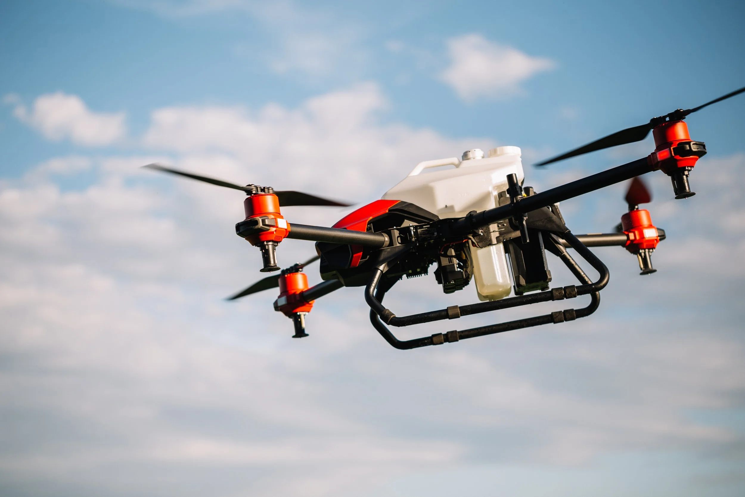
Rural searches involve cattle, hogs, or horses that wander off after a storm. Pilots who scout pastures and spray fields learn how stock moves along fence lines, creek bottoms, and shelterbelts. That habit speeds a search for animals, and it hints at routes a missing person might take across farm ground. Thermal picks out warm animals against cold ground. Between emergencies, we handle crop spraying, mapping, and scouting for growers around Agricultural Drone Services in Norfolk.

Drone Sales

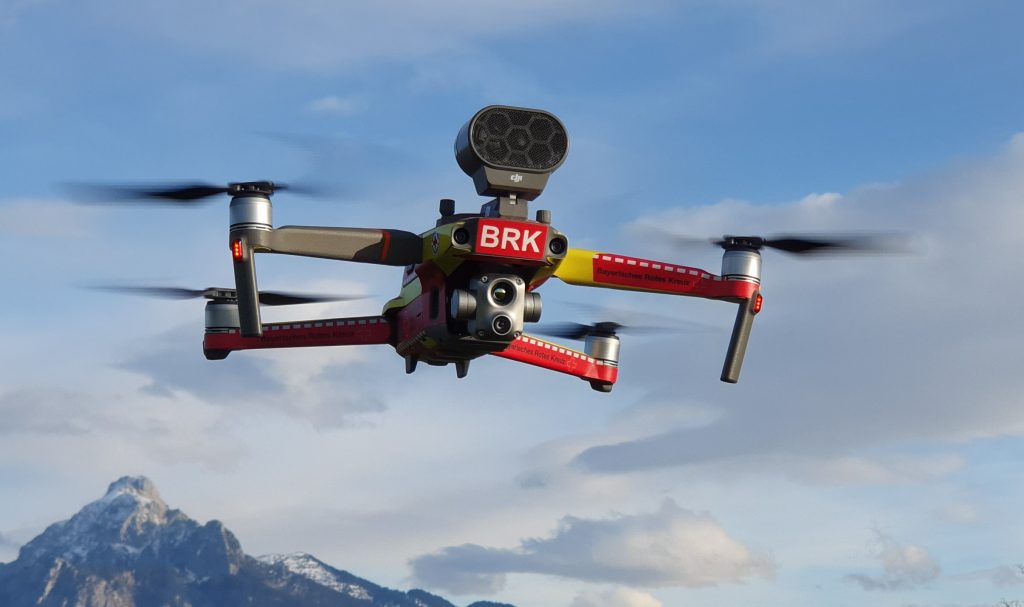
Small departments across Madison County often ask about options for department drone sales and public safety drone procurement to put in the truck. We explain thermal resolution, zoom, spotlight, speaker options, and full thermal equipment packages in terms of what each shows on a cold, dark field. We also cover the dull parts: charging in a vehicle, rotating batteries, keeping a rain cover handy, and deciding who maintains the log. With training, the drone helps on every call. Departments on tight budgets can start small and add thermal later.


Drone Inspection Services in Omaha, NE

Drone Inspections

Spring flooding along the Elkhorn can undercut infrastructure like road shoulders, culverts, and bridges. A drone can document washouts, debris jams, and water over the road from a distance for effective asset monitoring and bridge drone inspections, which helps emergency managers decide where to send crews. Our routine inspection work, from rooftops to silos, uses the same cameras and the same careful notes, so findings stay organized when time is short. Each photo carries a location, so a county road crew knows precisely where to go.


Construction Drone Services

Fire and rescue crews build pre-incident plans for big properties. Our construction drone services maps give them a top-down view of buildings, roads, gates, and water features, with clear labels. We make such maps for construction clients as part of progress flights, and with the owner’s permission, the same data can be shared with local responders ahead of the day they need it. Gates, hydrants, and tanks are all marked, so crews know what to expect before they arrive.


Search and Rescue

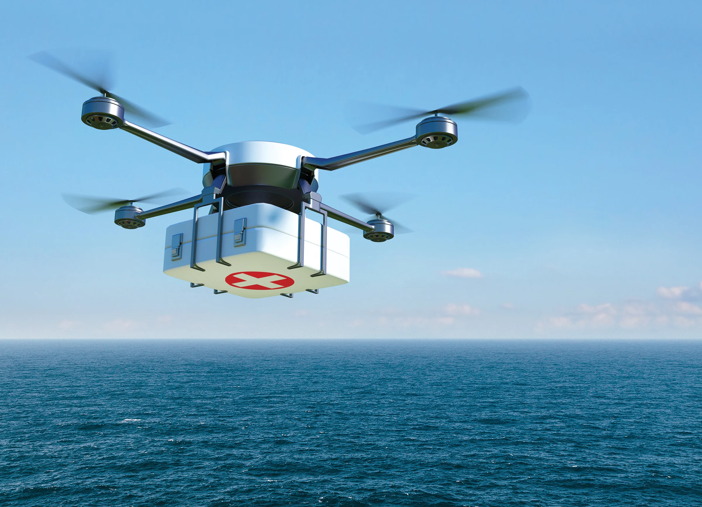
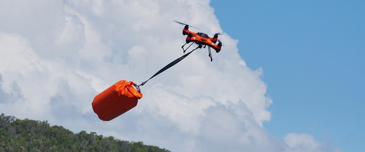
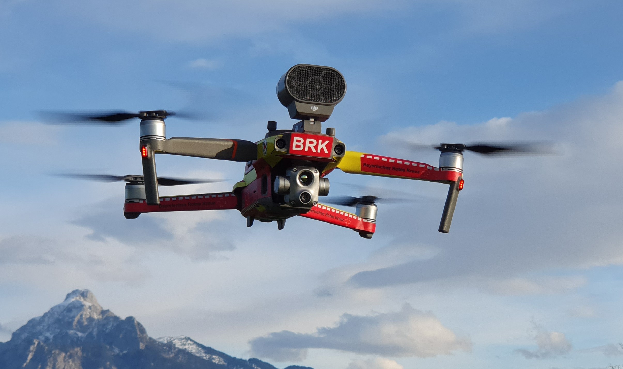
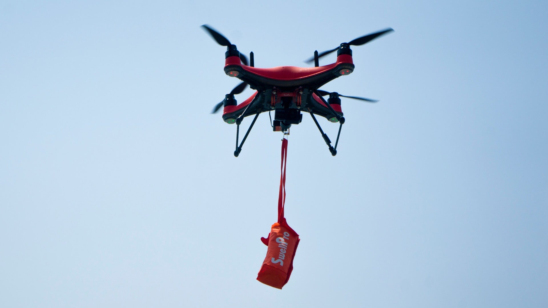
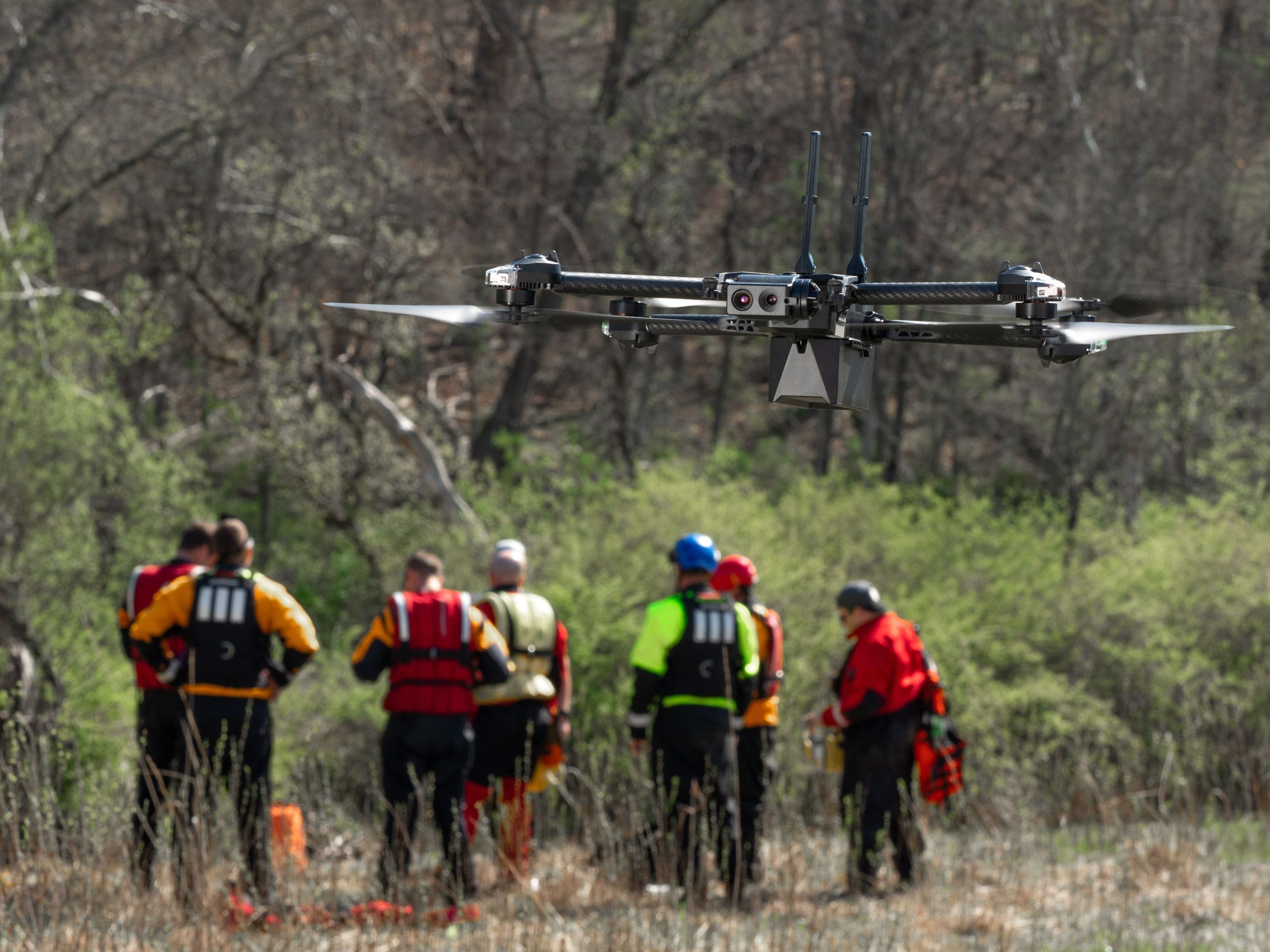
Drone search and rescue services in Norfolk bring thermal imaging, zoom lenses, and live video to missing-person, lost-livestock, and scene-assessment calls. A flight begins with a briefing from the incident commander: the last place seen, clothing, and known hazards. We then fly a pattern that suits the terrain, share live video with the command post, and mark coordinates for ground teams. When daylight returns, we repeat key areas in visible light.

aerial inspections

LEARN MORE ABOUT US

Who are we?

Our role is narrow, and we keep it that way. Responders ask for eyes in the air, and we deliver them. Professional search and rescue services in Norfolk depend on discipline: briefings before takeoff, calm communication, careful notes, and respect for the chain of command. DroneX Services brings the same habits it uses on spray, inspection, and mapping flights into emergencies. We do not replace trained rescuers, and we do not show up uninvited. We respond when asked, support what the agency in charge decides, and step back when the work is done. Steady radio traffic and a clear recap after every flight help responders more than any gadget does.

Why Choose DroneX

Families remember how long a search felt, not how it was organized. Drone rescue services in Norfolk exist to shorten that wait by giving searchers an overhead view of ground that would take hours to cover on foot. DroneX Services concentrates on being useful in the first hours: quick questions, straightforward video and coordinates that make sense on a county map. Plain language on the radio and in reports matters as much as any camera. Below are four reasons agencies and landowners call early.

Reasons to Trust

We tell you when the camera has found nothing and when it cannot see. Flight logs record times, areas covered and conditions for the agency in charge.

Your Best Choice

Thermal, zoom, and live video travel together, so a single aircraft can search, confirm, and share the full view with the incident command post at once.

Right Choice for You

Field, river bank, tree row or town edge: each needs its own search pattern and altitude, and we choose them to fit the terrain instead of a template.

Professional

A briefing before every takeoff, clear radio habits, spare battery packs, and strict airspace awareness, including coordination near Norfolk’s airport.

Google Review

Write a Review

Webb Wallace
★★★★★
“Exceptional service! The drone team provided detailed aerial data that made farm management so much easier. Highly recommend their expertise.”
Renae Stringer
★★★★★
“Professional and reliable! Their inspection drones saved us time and gave accurate results we could trust.”
Erik Young
★★★★★
“Outstanding experience from start to finish. The team’s knowledge and technology exceeded our expectations and delivered great results.”

Top-Rated Search and Rescue Services in Norfolk, NE

Aerial search services in Norfolk change with the terrain, so we plan each flight to match the ground. Along the Elkhorn, trees overhead hide heat, so we fly low beside banks and sandbars and use zoom on every opening. Across fields, thermal works best at dusk or dawn, and tall corn gets edges and rows first. Tree rows and shelterbelts get two passes, one down each side. Parks and trails call for short flights in small blocks, with care around roads, people, and the airport. After storms, we look over damaged structures before ground crews enter. Ponds and gravel pits need a wide first pass to read the shoreline, then slower checks along the edge. Every flight ends with notes and coordinates.

Check Out Our Gallery

Proudly Serving Norfolk, NE & Nearby Agricultural Communities

Emergency drone search services in Norfolk extend to the towns and farms nearby: Tilden, Madison, Wayne, Battle Creek, Pierce, Stanton, and the country roads between them. Large searches here often cross county lines, so we coordinate with whichever agency runs the scene. Local knowledge matters, and we ask deputies, fire chiefs, and landowners about gates, ditches, hazards, and shortcuts before a flight. A search that runs past dark may still need a landowner’s key to a locked gate, so we ask who holds one. Pilots stay clear of search crews on foot. If your location is farther out, call and we will tell you honestly how long arrival would take.

Search and Rescue Services

Call Us Now

Dial 911 before anything else if a life may be at risk. Once responders are rolling, you or the agency in charge can reach DroneX Services at Book Now. Give us a place and a time, and tell us who is coordinating the search. Share the best number to reach you. A description of the missing person and a recent photo of them and their phone number help the agency more than us, but pass them along if you have them. Planning ahead? Call during regular business hours about training days, standby support, or a pre-incident map for your property or department. Landowners can also call, for instance, after a storm leaves fences down and animals loose.

Frequently Asked Questions

How can drones help locate missing people in Norfolk, NE?

They give searchers an overhead view of fields, banks, tree rows, and trails that are slow to walk. Thermal shows body heat, zoom confirms what it is, and coordinates guide ground teams straight to the spot. Drones add to teams and never replace them.

At night, often yes, because thermal sees heat rather than light. Dense vegetation blocks much of that heat, so results drop in thick brush or corn. We search edges, openings, and gaps first, then zoom in to confirm what we see. Leaf-off seasons help.

A drone flies straight grid lines at steady speed and sees a wide strip of ground with each pass. It doesn’t stop for ditches, fences or mud. Ground teams can then focus on the places that matter most instead of walking every single acre in sequence.

Yes. The feed can be viewed by the pilot and a second person at the command post, so several people at once can look at the same ground. Recording lets responders replay a pass later and double-check places they may have missed during the first look.

What types of terrain can search and rescue drones safely cover?

Open fields, pastures, banks, tree rows, ditches, roads, parks and damaged buildings are all workable when wind, rain and airspace allow. A very thick canopy, strong wind, lightning and heavy rain can ground the aircraft. We tell you when that happens.

A drone can check fast water, steep banks, unstable structures, downed lines, and smoldering debris before anyone walks in. Searchers then avoid hazards or enter with a plan. Less time in dangerous spots means fewer injuries and less fatigue at night.

Yes. After storms, floods, or fires, a drone can show damaged structures, blocked roads, standing water, and debris from a safe distance, without sending anyone in. That early look helps commanders decide where crews go first and which areas stay shut.

Response time hinges on crew location, weather, airspace, and how fast we are contacted. Dial 911 first. After that, give us the location, time, and the incident commander’s name so we can plan the quickest route and have the aircraft ready on arrival.

CONTACT US

You Can Contact Us Any Time