
Search and Rescue Services in Omaha, NE | DroneX Services
Search and rescue services in Omaha, NE, open with a call to 911, and that call always comes first. Once agencies take command, a drone can add something ground crews rarely have: a steady view from above that keeps recording while people gather, regroup, and move. DroneX Services supports sheriff’s offices, fire departments, and volunteer search teams that ask for aerial help. We fly where the incident commander points us, share what the camera shows, and step aside when the search ends. The sections below explain how that support works, what a drone cannot do, and how to reach us when you are planning ahead rather than responding to a crisis.
WHAT CAN WE DO FOR YOU?
Check Out Our Services in Omaha, NE
Drone rescue services in Omaha bring one more tool to searches that agencies already run. A drone does not replace K-9 teams, divers, or deputies on foot. What it does is shorten the time spent looking in the wrong place. The five sections below show where that help applies, from cornfields to storm-damaged buildings, along with the questions agencies ask us most. Each section states limits as plainly as strengths. Find the topic closest to your situation. Anything urgent belongs on a 911 call first.

Agricultural Drone Services
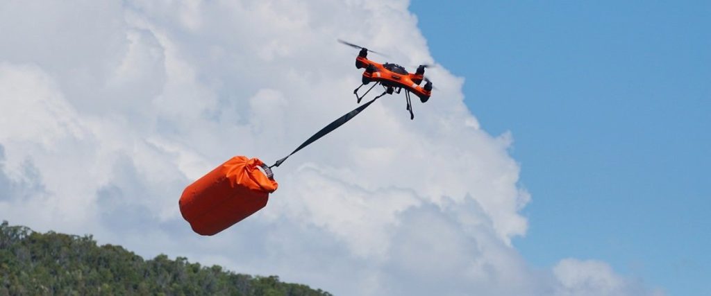
Agricultural drone services in Omaha push into farm country, where a missing person can vanish in corn ten feet tall. From late summer through harvest, the rows hide anyone who wandered from a yard or a vehicle. A drone flown parallel to the rows, with a thermal sensor at dawn or dusk when the air has cooled, can scan a quarter section far faster than a line of searchers. Shelterbelts, ditches, and the shadows beside grain bins get checked from above.
Drone Sales
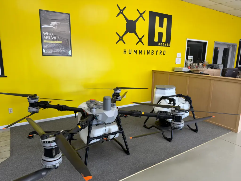
Drone sales services in Omaha sometimes lead to a purchase conversation, because volunteer teams want aircraft of their own. DroneX Services sells thermal drones and walks buyers through the details that matter in the field: sensor resolution, zoom range, battery life in cold air, and a screen bright enough for daylight. Training comes up too. Grant-funded purchases carry limits on where a drone is built, so confirm those before you order.

Drone Inspections
Emergency drone inspections services in Omaha frequently shift into inspection work once the person is found or the fire is out. After a flood, levees, culverts, and bridge approaches need a quick check for washouts. A scorched or storm-hit building must be judged before crews go in, and a recorded flight over the roof and walls gives incident commanders and building officials something to study. The footage stays on file for insurers and repair planning.
Construction Drone Services
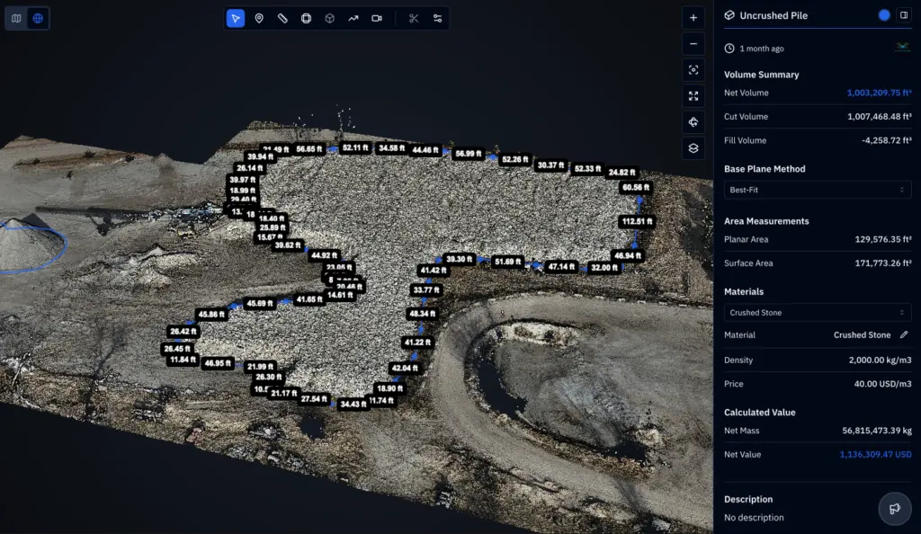
Construction drone services in Omaha also reach large job sites and demolition areas, where open excavations, half-built stairwells, and stacked materials slow a ground search and raise the risk to searchers. A drone can scan the footprint, look to the bottom of a pit, and follow fencing for a gap where someone slipped out. A site manager can ask for a flight when a worker is unaccounted for after an evacuation, once emergency crews are on the way.

Search and Rescue
Professional search and rescue services in Omaha work from the incident commander’s plan. We launch when invited, brief the crew on what the camera can see, and fly the search boxes the agency assigns. A thermal sensor picks out body heat against cooler ground, the visual camera checks anything suspicious, and each pass is logged by time and location. Ground teams get coordinates they can walk to, which beats a report of something warm near the creek.
LEARN MORE ABOUT US
Who are we?
Search and rescue services in Omaha belong to a team, and DroneX Services is one small part of that team. A search is rarely tidy. Weather shifts, volunteers arrive in waves, and the plan changes every hour. We keep our role narrow so it fits into that mess: aerial eyes, a steady pilot, and a spotter watching the sky for other aircraft. Before any call comes, we like to meet agencies, learn how they run a search, and agree on radio channels and handoffs. That groundwork pays off at 2 a.m. We ask for a little up front: a contact, a search area, and any known hazards. When a flight happens, the footage goes to the agency and stays out of public view.
Why Choose DroneX
Aerial search services in Omaha succeed or fail with the crew behind the camera, so we keep a few fixed habits. We never self-dispatch. We check weather and airspace with the agency before launch, keep medical helicopters and other crewed aircraft clear, and log every flight. If conditions are unsafe for the drone, we say so early. Honest limits protect everyone. Respect for the families waiting on news shapes how we communicate. The four notes below describe what that looks like in practice.
Reasons to Trust
Drone rescue services in Omaha demand clean records, so each flight is logged by time, location, and pilot, and the footage goes to the agency only.
Your Best Choice
Emergency drone search services in Omaha put eyes over the search area while ground teams organize, so early choices follow what is actually visible.
Right Choice for You
Drone rescue services in Omaha match the call: a lost hiker, a flooded road, and a damaged roof each need a different flight plan and a different camera.
Professional
Professional search and rescue services in Omaha mean working under incident command, following FAA rules, and sharing footage only with the agency.
Write a Review

Top Rated Search and Rescue Services in Omaha, NE
Professional search and rescue services in Omaha come down to cooperation. We do not self-dispatch or freelance at an active scene. A typical callout begins when an agency asks for help. We confirm the location, check weather and airspace, and bring the gear a search needs: thermal and zoom cameras, a stack of charged batteries, and a way to share video. On scene, a spotter watches for other aircraft while the pilot flies assigned boxes. Drone search and rescue services in Omaha have limits. Wind, heavy rain and fog, dense canopy, and hot afternoons all reduce what a camera can find, and no drone can lift a person out of harm’s way. What it can do is give searchers better information, sooner.
Proudly Serving Omaha, NE & Nearby Nebraska Communities
Drone search and rescue services in Omaha stretch along rivers and lakes outward from the metro. The ground we think about most is the Missouri River corridor: sandbars, timbered bottoms, and the trails of Fontenelle Forest, Neale Woods, and Hummel Park. Lakes such as Standing Bear, Zorinsky, and Cunningham matter in winter, when thin ice draws people out, and in summer when swimmers go missing. High water can cover a county road in a single afternoon. We also cover Bellevue, Papillion, Gretna, Elkhorn, Bennington, Blair, Fort Calhoun, Plattsmouth, and Fremont. Near Eppley Airfield or Offutt, the responding agency clears emergency flights.
Call Us Now
Search and rescue services in Omaha begin with 911, so make that call first if anyone is missing or in danger. The responding agency can then ask for DroneX Services if drone support would help. This number is for planning ahead. Agencies, volunteer teams, camp managers, and landowners are welcome to call about standby arrangements, training days, or equipment questions. Tell us what ground you cover, which agencies you work with, and if you want a pilot, a drone, or both. We will explain what we can support, what we cannot, and how a request should reach us when it counts. Emergency details never belong in an email or form; those go to 911.
Frequently Asked Questions
What Types of Search and Rescue Situations Can DroneX Services Support in Omaha, NE?
Search and rescue services in Omaha from DroneX Services support agencies during missing-person searches, lost hikers or hunters, wandering adults, shoreline and water searches, and checks of storm or fire damage. Our role is aerial support. We do not replace first responders, and we fly only when an agency or authorized incident commander asks for help. In an emergency, call 911 first.
How Quickly Can DroneX Deploy a Search and Rescue Drone in Omaha?
Emergency drone search services in Omaha hinge on distance, weather, airspace, and when an agency reaches us. We cannot honestly quote a response time, because any number would depend on all of those factors. Once on scene, we aim for an organized launch: a briefing, a spotter in place, and a first flight over the area the incident commander picks. Agencies that contact us ahead of time can shorten the early steps.
Can Thermal Imaging Help Locate Missing People at Night or in Dense Brush?
Drone rescue services in Omaha use thermal imaging to show body heat against cooler ground, which works best at night and around dawn. Brush, tall crops, and thin tree cover can still be scanned, though thick canopy blocks heat and hot afternoons wash out contrast. Glass and water also hide heat. For that reason we pair thermal with a visual zoom camera and treat every hit as a lead for ground teams to check.
How Do Drones Help Rescue Teams Cover Large Search Areas More Quickly?
Aerial search services in Omaha sweep open ground much faster than a line of walkers, because a drone flies a tight grid and the camera sees a wide strip with each pass. Battery swaps, wind, and daylight limit how long one aircraft can stay up. Large searches work best with more than one aircraft or crew, which the incident commander decides. Our flights are logged so areas already covered are not searched twice.
Can DroneX Provide Live Aerial Video to Emergency Response Teams?
Live video is part of drone search and rescue services in Omaha. The pilot’s controller screen or a tablet can show the feed to an incident commander, and the flight is recorded for later review. Signals can drop behind bluffs, buildings, and dense timber, so we plan flight paths and positions to keep the link strong. Stills with coordinates can be sent to ground teams as soon as something needs checking.
Can Search and Rescue Drones Operate Over Rough or Dangerous Terrain?
Flights for drone rescue services in Omaha pass over ravines, river bottoms, flooded ground, and steep banks that are slow or risky to cross on foot. Wind, heavy rain, and very cold air limit flying, and the tree canopy hides what lies beneath it. Rules require us to keep the aircraft in sight or use a visual observer. When a drone cannot safely do the job, we tell the agency early and suggest another approach.
How Do Drone Search and Rescue Services Help Keep First Responders Safer?
A drone lets responders check hazards before sending anyone in. It can look at a sagging roof, a fast-moving creek, a steep bank, or thin ice and tell the crew what waits ahead. Fewer people stand in those places, and the ones who do know what to watch for. The aircraft is a scout. Trained responders still make every decision on scene.
Can DroneX Services Help Assess Disaster Areas After a Storm or Emergency?
Yes. After a storm, flood, or fire, we can document damaged roofs, flooded roads, debris fields, and downed trees with photos, video, and thermal views, and we can map larger areas when an agency needs one. This helps with safety planning, utility coordination, and later insurance work. Disaster assessment flights happen when the responding agency or the property owner asks, under FAA rules.
CONTACT US