Advanced Agricultural Drone Solutions in Lincoln, NE | DroneX Services

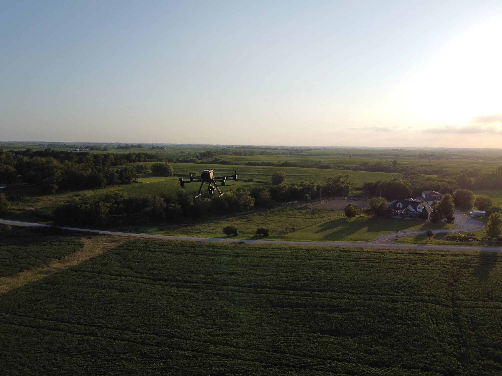
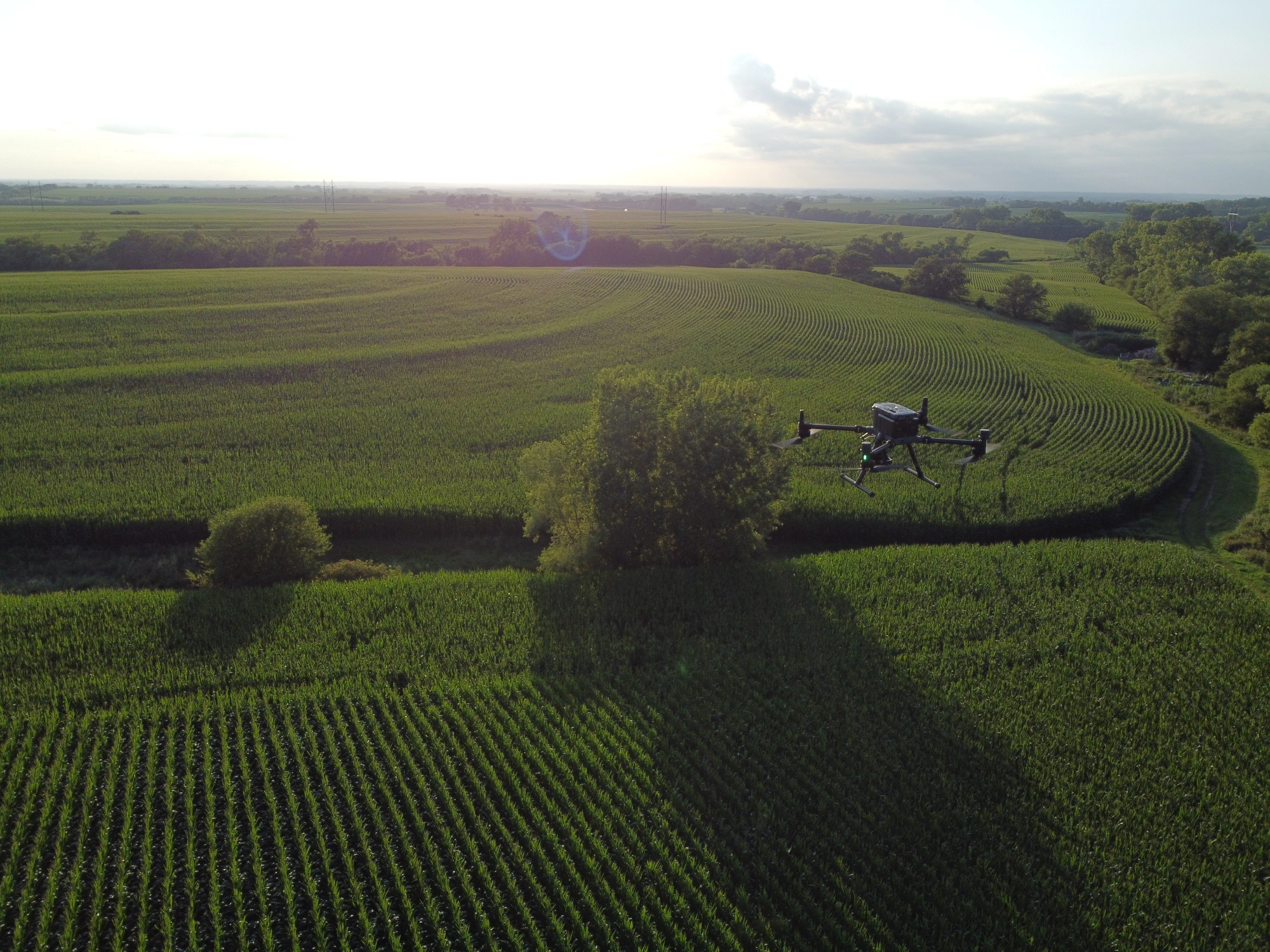
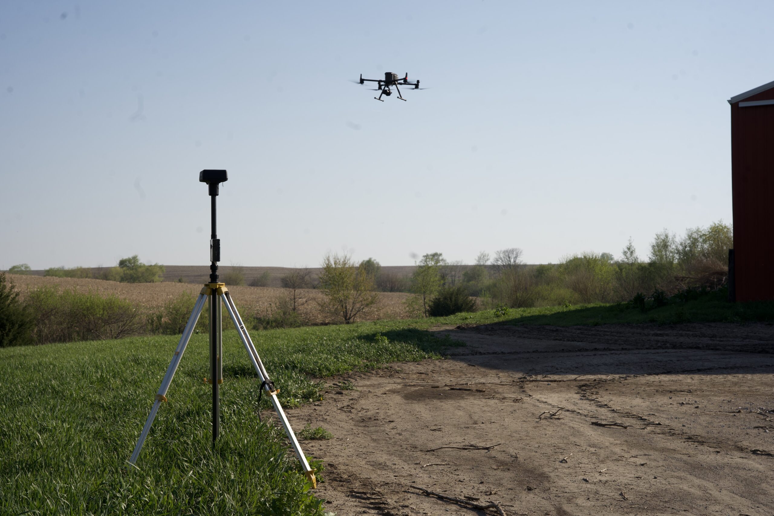
Agricultural drone services in Lincoln NE, sit at an unusual crossroads: working farmland on one side, a state capital and a university on the other. Rolling terraced ground, Salt Creek bottoms, and acreage homes at nearly every corner shape how a pilot plans a flight. Field edges here are rarely square. DroneX Services takes on spraying and mapping jobs across Lancaster County and the farms around it, each with a plan built for the field in question. You receive careful coverage, a written record of what went where, and a pilot who will talk you through it. Choosing the product and the rate remains your call, made with your agronomist.

DroneX provides agricultural drone services in Lincoln, NE, with advanced aerial mapping
Get a free estimate

WHAT CAN WE DO FOR YOU?

Check Out Our Services in Lincoln, NE

Farm drone services in Lincoln follow the growing season more than the calendar. Early spring is for stand checks and drainage, June for weed escapes, July for disease and dry spells, and fall for yield clues. Each section here describes where one service fits in that rhythm. Skim for the one that matches the question on your mind today. If it falls between two, say so on the phone, and we will pick the flight that answers it. Many Lancaster County farms end up using several in a single year.

Agricultural Drone Services

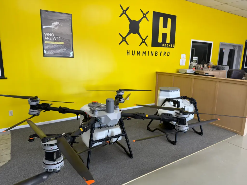
Agricultural drone services in Lincoln fit best where the ground fights back: terraced slopes, soggy bottoms along Salt Creek, and small fields wedged between roads. Marestail in no-till soybeans, giant ragweed along waterways, and Canada thistle in pasture corners are typical targets. Mapping flights between sprays show which patches responded. Your agronomist and you decide what goes in the tank and how much. We fly and keep the application records.

Drone Sales

Drone sales in Lincoln only makes sense when it flies enough acres, and many small operators never reach that number. A 60-acre place with one spray pass a year is cheaper to hire out. A custom applicator working across Lancaster and Saunders counties may fly one every week. We run those numbers with you first. If buying still makes sense, we cover the license, the FAA paperwork, and the support you will want after the sale.

Drone Inspection Services in Omaha, NE

Drone Inspections

Drone Inspections services in Lincoln doubles as an inspection tool for everything on the farm that is hard to walk. Terrace channels, drainageways, culvert crossings, and pond dams show their condition from above. Machine shed roofs and bin roofs get a look after hail. After a heavy rain, one pass can show where a terrace overtopped, so repairs can be planned before the next storm. Photos are dated, which helps when an insurer asks for proof.

Construction Drone Services

Construction drone services in Lincoln earns a second job when the farm starts building. A new machine shed, a grain bin pad, a farm pond, or a tile line all begin with ground elevations that a short mapping flight can capture. Before a contractor quotes, you can see slopes and drainage paths. After the dirt work, a second flight confirms the pad is level and water leaves as planned. Mapping informs the work, though a licensed surveyor still sets legal lines.

Search and Rescue

Search and Rescue services in Lincoln sometimes take on a different job: looking for someone. A wandering relative, a lost hunter at dusk, or a child who left the yard can disappear into soybeans or a shelterbelt quickly. If that happens, call 911 first. Responding agencies may then ask for thermal drone support to sweep a field edge, a creek corridor, or a farmstead from above. We assist when invited and follow the incident commander’s direction.

agricultural drones

LEARN MORE ABOUT US

Who are we?

Agricultural drone services in Lincoln get judged in the field by the person who has to live with the result. That is how DroneX Services thinks about each job. Before a flight, we want to hear what the field did last year, what the crop is doing now, and what you hope to decide. A 60-acre acreage with a pond and a section of rented ground needs different plans, and we treat them that way. Fields vary a lot from one section road to the next, so we learn your ground instead of leaning on averages. Afterward, you receive a plain summary: what we saw, where it was, and what to check first. No jargon. If a flight was not needed, we say that too.

Why Choose DroneX

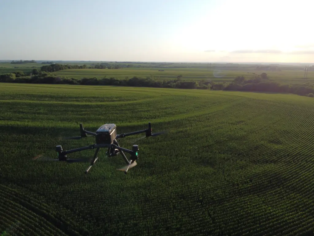
Growers who book agricultural drone mapping in Lincoln want maps that lead to a decision, so every map is paired with a few spots worth walking. We tell you early when wind, rain, or a label restriction rules out a day. Records are kept by field and date, so last year’s flight is still on file when this year’s question comes up. Our crews are upfront about what a drone can and cannot see. We also explain our work in plain words. Here is how DroneX Services works day to day, in four short points.

Reasons to Trust

Crop spraying in Lincoln leaves a paper trail: every pass is recorded by date, field, product, weather, and pilot, so questions get real answers later.

Your Best Choice

Agricultural drone mapping in Lincoln gives you a field picture soon after the flight, so scouting trips start at the trouble spot instead of the gate.

Right Choice for You

A drone in Lincoln jobs range from a 20-acre acreage to a full section, and each one gets its own written plan covering dates, product, and files.

Professional

Agricultural sprayer drones in Lincoln flights follow FAA rules, state applicator licensing, and label wind limits, with documents available on request.

Google Review

Write a Review

Webb Wallace
★★★★★
“Exceptional service! The drone team provided detailed aerial data that made farm management so much easier. Highly recommend their expertise.”
Renae Stringer
★★★★★
“Professional and reliable! Their inspection drones saved us time and gave accurate results we could trust.”
Erik Young
★★★★★
“Outstanding experience from start to finish. The team’s knowledge and technology exceeded our expectations and delivered great results.”

Top-Rated Agricultural Drone Services in Lincoln, NE

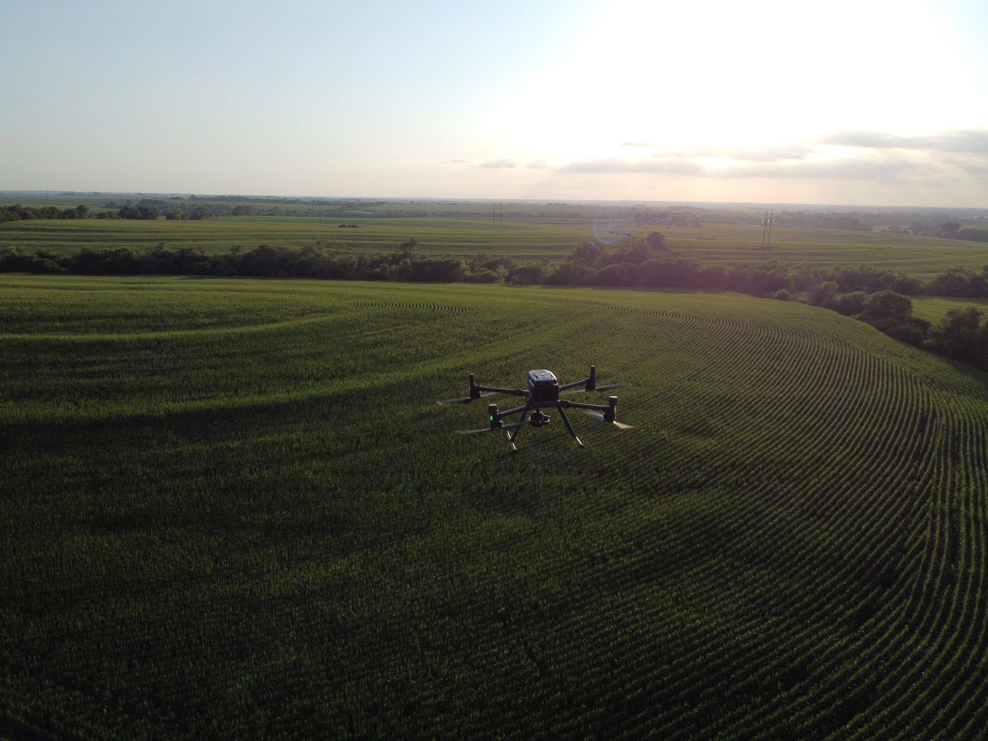
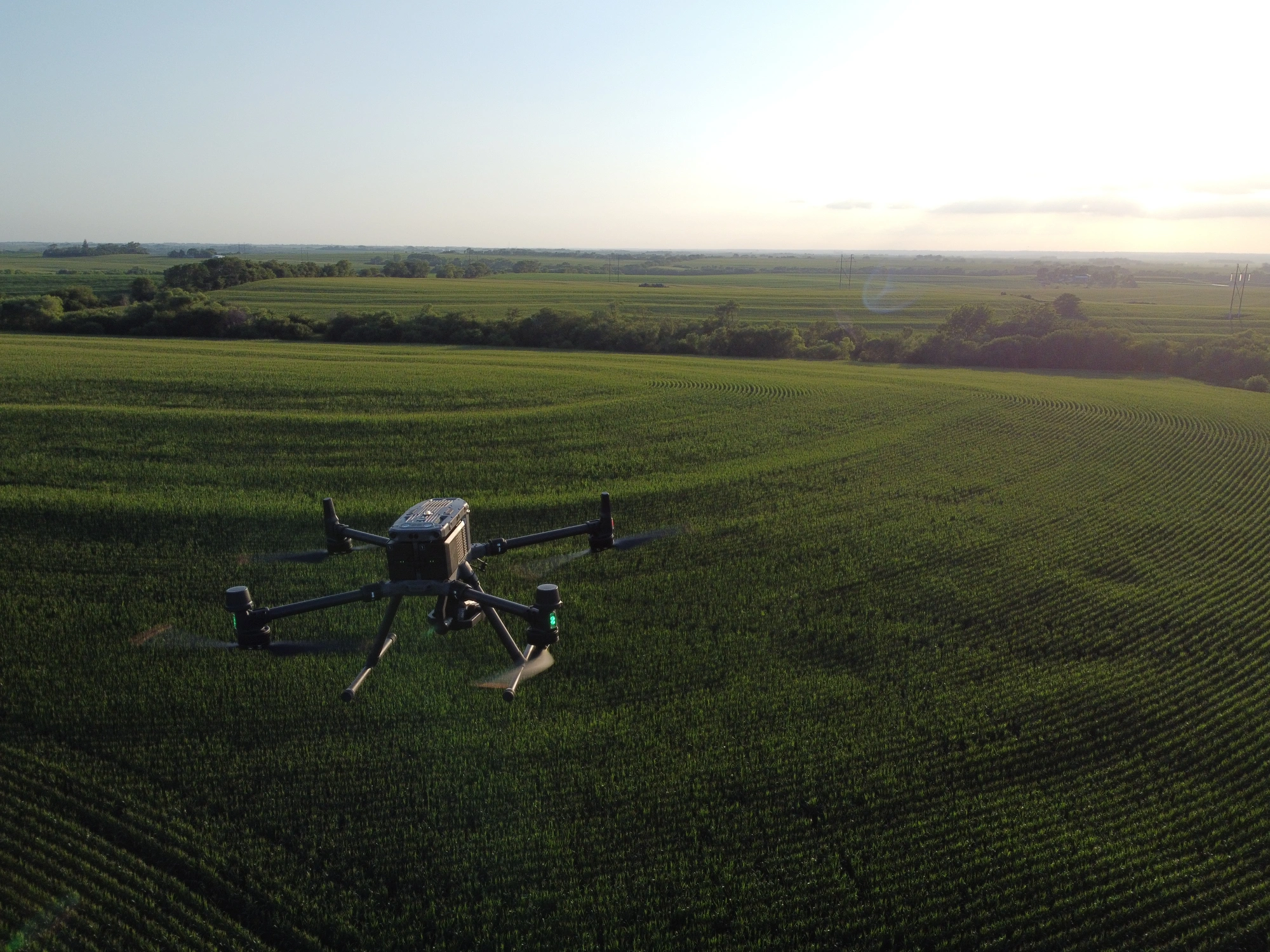
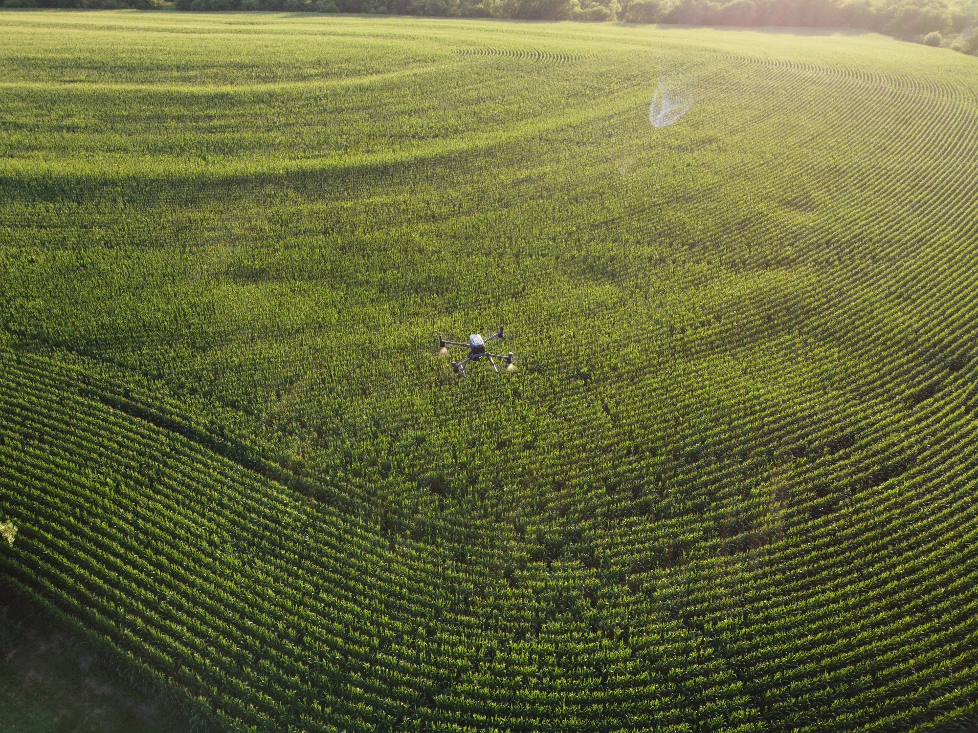
Crop spraying in Lincoln runs on weather and label limits. Agricultural drone spraying in Lincoln follows the same rules as any other application: wind caps printed on the product label, no treating when an inversion traps droplets near the ground, and buffers around houses and sensitive areas. Fields near the saline wetlands along Salt Creek north of the city call for extra care, since protected habitat can sit beside cropland. A drone also reaches ground that a rig cannot, such as soggy bottoms, steep terrace banks, and odd-shaped fields. Good spray mornings are scarce in a wet June. Product and rate are your agronomist’s call. We fly the pass, log wind and temperature, and send you the record.

Check Out Our Collaborations

Proudly Serving Lincoln, NE & Local Farming Communities

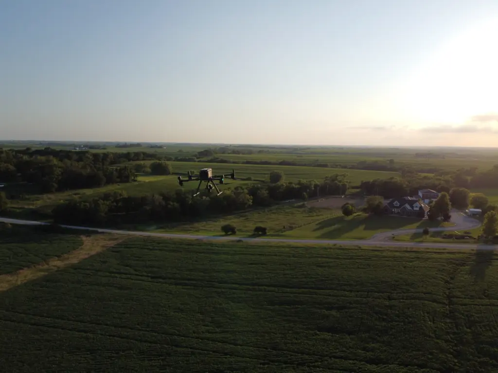
Farm drone services in Lincoln reach across Lancaster County and the farmland that surrounds it. Villages such as Waverly, Hickman, Raymond, Roca, Bennet, Denton, and Malcolm sit close by, and larger jobs take us to Seward, Crete, Beatrice, Milford, Ashland, and Eagle. Terraced hills, flat Salt Creek bottoms, and clay-heavy soils that hold water after rain are all part of the work. Acreage homesites mixed in with crop ground are common too, and the Salt Valley lakes such as Branched Oak and Pawnee shape drainage for miles around. Lincoln Airport controls the airspace near it, so flights close to the city start with an airspace check and LAANC.

farm drone technology

Call Us Now

Planning agricultural drone spraying in Lincoln this season? Call or message with four details: where the field is, how many acres, what the crop is, and what worries you. A dropped pin works as well as a legal description. We check airspace, the product label, and the forecast, then reply with a date, a written price, and the files you will get back. If you only need a map, tell us, because mapping depends on light and clouds more than wind. Mention nearby beehives so we can plan buffers. Acreage owners with five or forty acres are as welcome as full-time farmers. Spring and early summer fill quickly, so earlier calls get more choice of dates.

Frequently Asked Questions

What Can Agricultural Drones Detect in Lincoln, NE?

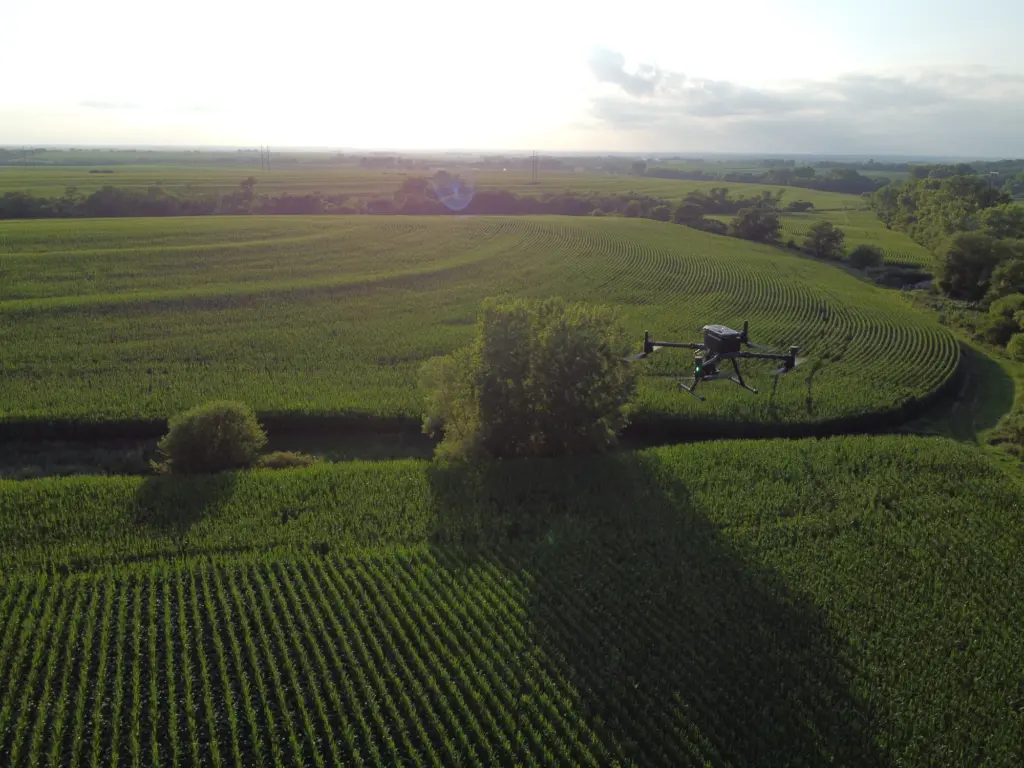
Agricultural drone services in Lincoln can pick up thin stands, weed patches, wind lodging, hail bruising, wet spots, compaction streaks, and uneven emergence. The camera sits above the canopy, so it sees patterns that walking a row misses. A drone cannot name a cause by itself. It shows you where something changed, and you or your agronomist confirm what it is.

Farm drone services in Lincoln monitor crop health by recording how leaves reflect light, including bands the eye cannot see. Stressed plants reflect differently from healthy ones, so a vegetation index map highlights trouble in color. We compare flights taken a couple of weeks apart to track whether a discolored area is spreading, holding, or recovering. Then you know where to scout first.

An ag drone in Lincoln can show which parts of a field dry out first, usually knolls and thin soils, and which collect water behind terraces or in swales. Most fields here depend on rainfall, though some run center pivots, and uneven coverage on a pivot shows up in the crop below it. Soggy zones above a leaking or collapsed tile line stand out too. The map points you toward the problem.

Agricultural drone spraying in Lincoln cuts waste by treating only what needs treating. If a marestail covers twelve acres of an eighty-acre field, a map lets us spray those twelve and leave the rest. Tighter flight lines also reduce overlap. Savings depend on the field, the product, and how scattered the problem is, so any percentage we quoted would be a guess.

Can DroneX Provide Seasonal Crop Monitoring for Farms in Lincoln, NE?

Seasonal monitoring through DroneX Services usually follows the crop: a stand check soon after emergence, a weed scan in June, a stress and disease look in midsummer, a lodging check before harvest, and a drainage review after fall rains. Not every farm needs every flight. We build a schedule around your crop, your acres, and the questions you want answered.

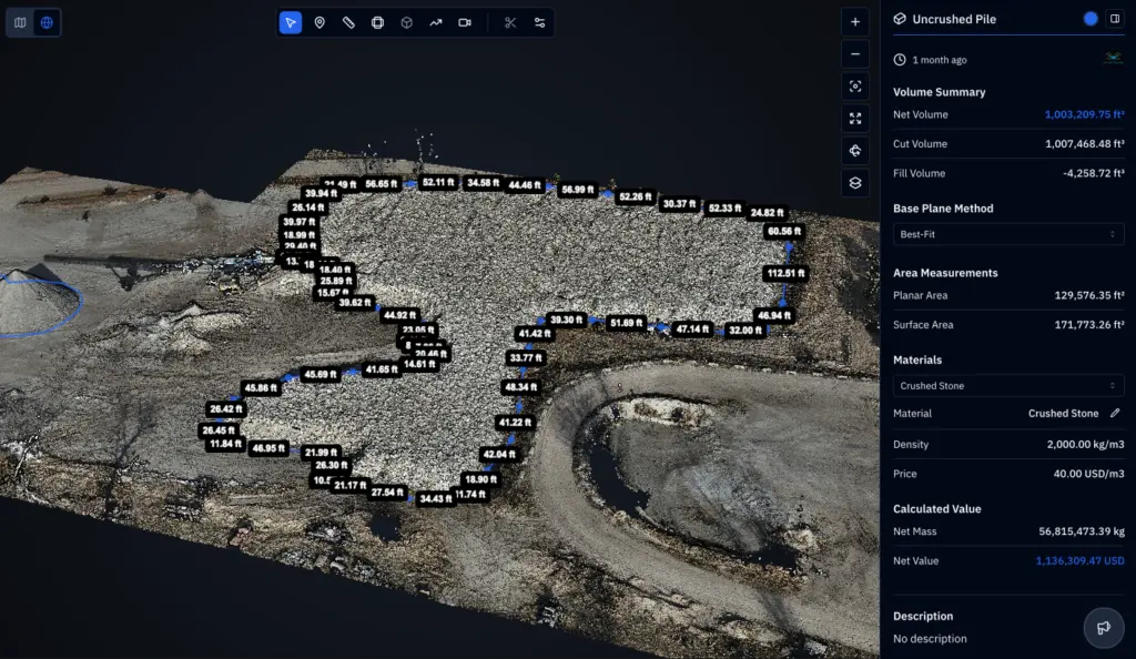
Agricultural drone mapping in Lincoln delivers a stitched field image, a vegetation or stress map, and annotated photos of problem spots, plus a plain-language note on what looked wrong and where to scout. Files come in formats that most farm software opens, and original images are available on request. Maps are filed by field and date, so you can compare seasons.

Crop spraying in Lincoln works best when it follows a map, because early warning signs appear from the air first: pale patches, stunted corners, and thin stands beside wet ground. Compaction and salty spots near Salt Creek can show as well. A drone helps you catch a weed or disease hot spot while it is small. Lab tests and field visits still confirm the cause.

Cost for an agricultural sprayer drone in Lincoln or any spraying job depends on acres, the number of passes, travel, and whether product is supplied. Mapping is priced differently from spraying. Send the field location and your goal, and you will get a written quote that lists exactly what it covers before you agree to anything.

CONTACT US

You Can Contact Us Any Time