Advanced Agricultural Drone Services in Norfolk, NE | DroneX Services

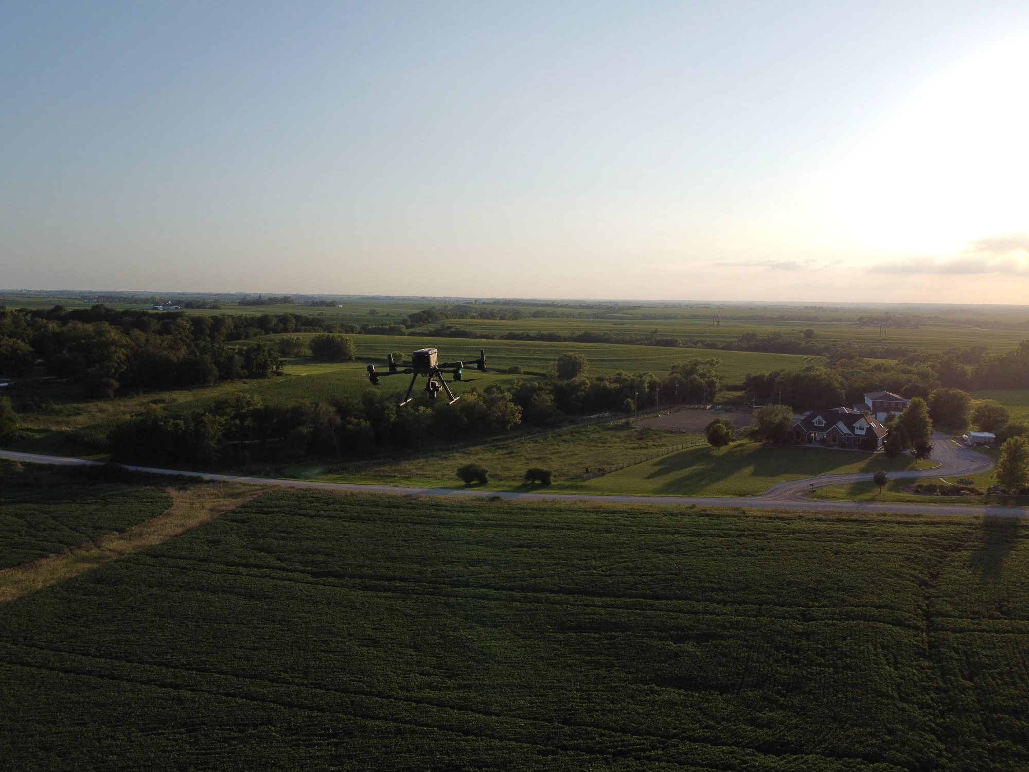
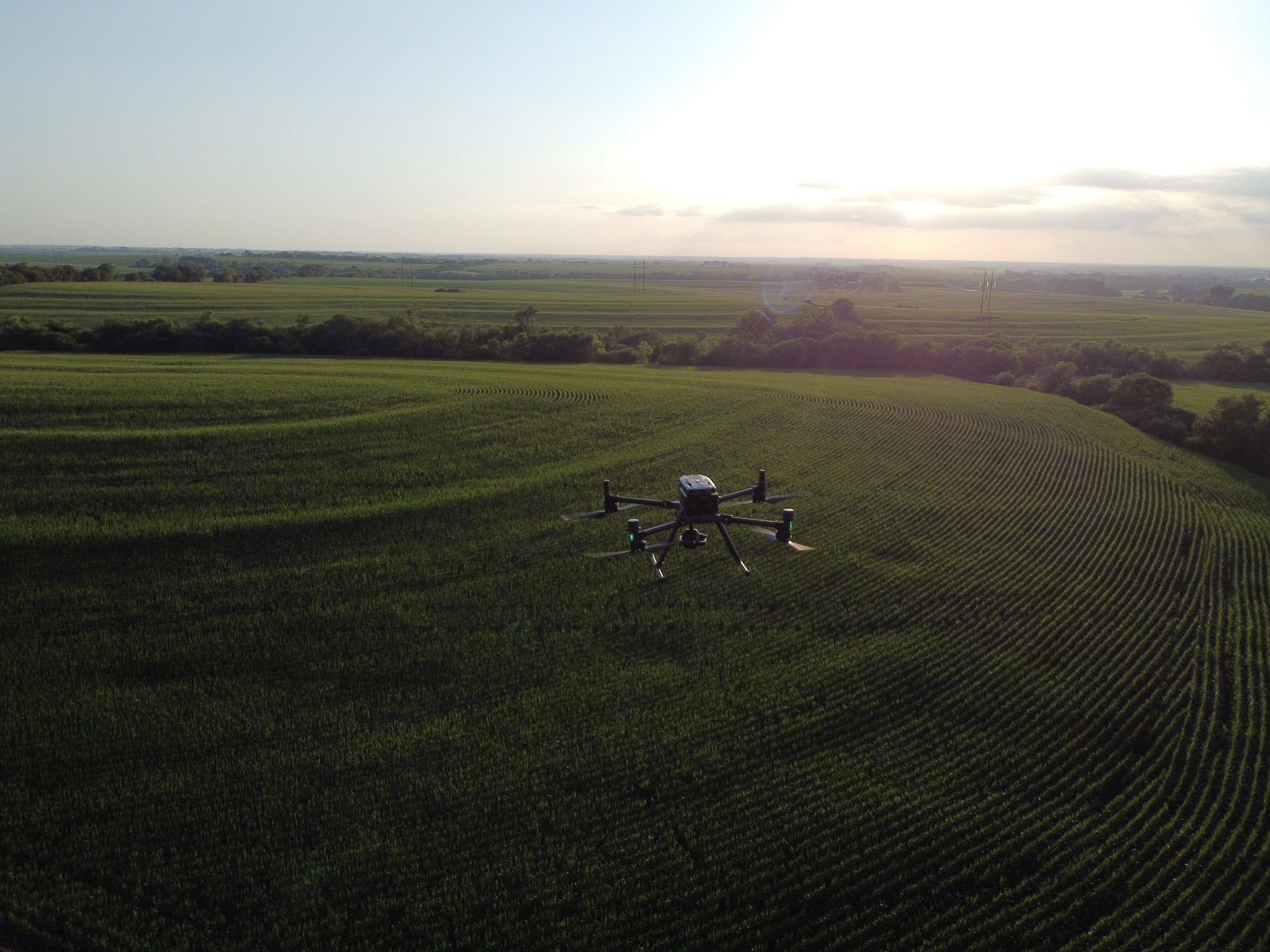
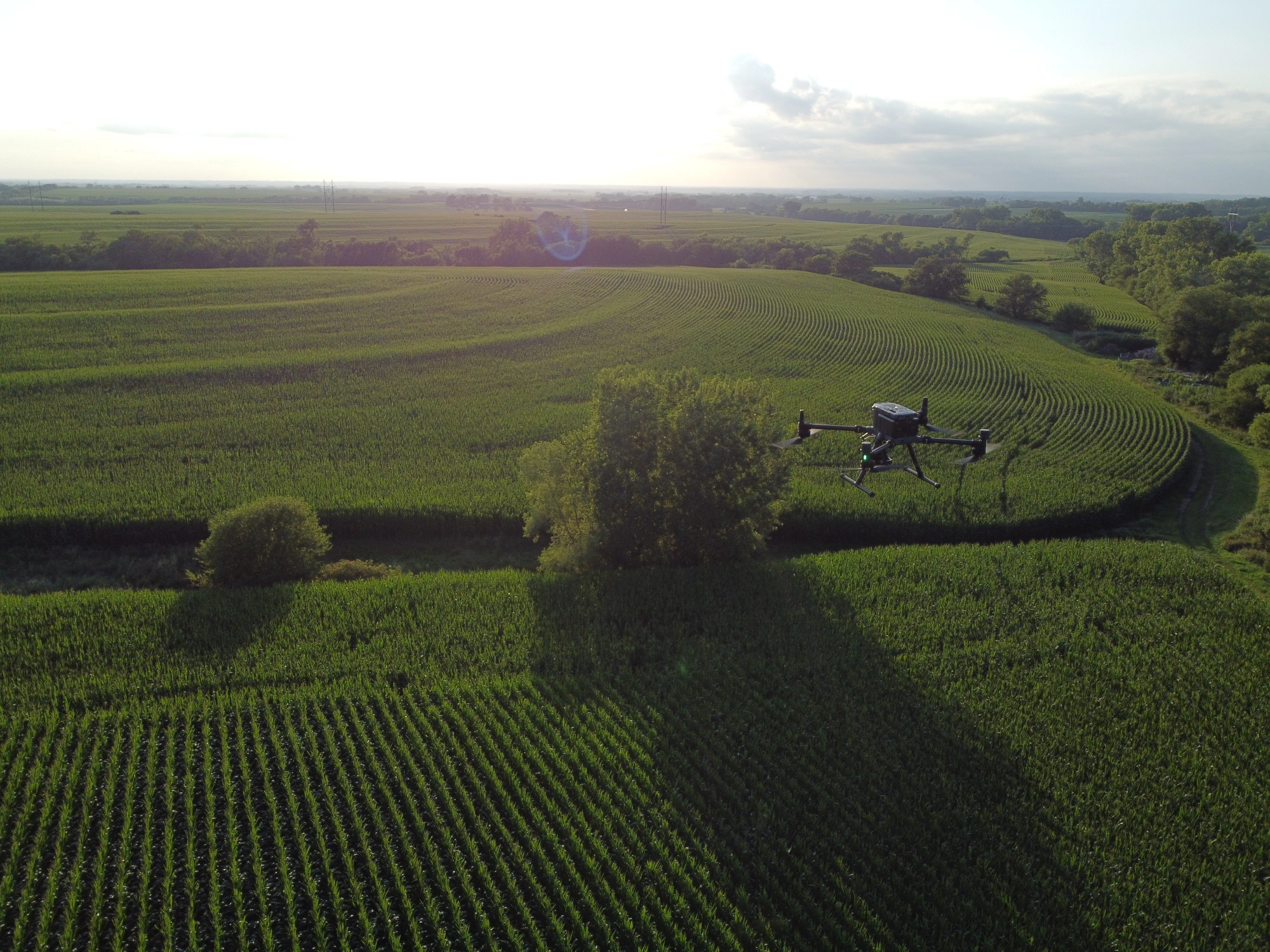
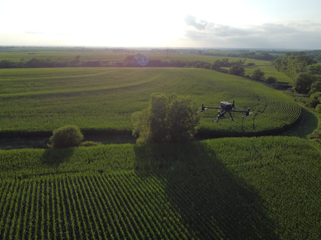
Agricultural drone services in Norfolk NE, suit the way northeast Nebraska farms: rolling ground, terraces, grass waterways, and springs that stay wet longer than planned. DroneX Services flies sprayer and mapping aircraft over corn, soybeans, and hay when a rig would rut a field or the window is closing fast. For crop spraying in Norfolk, drones follow your boundary map and label limits so the product lands on target. Mapping and scouting flights follow behind to show which acres respond and which struggle. Tell us the field, the crop and what you are seeing. You will hear back with an honest plan, including the times a drone is the wrong answer.

agricultural drones
Get a free Estimate

WHAT CAN WE DO FOR YOU?

Check Out Our Services in Norfolk, NE

Spraying keeps our pilots busy from May through August, but other seasons bring other calls. Late winter and spring are for drainage maps and storm damage checks, summer evenings are for scouting, and fall brings harvest-time questions about bins and building pads. Five services are listed below. Choose the one nearest your problem. Livestock producers, row-crop families and rural contractors often find a second use for us after the first flight. Questions about anything on the list are welcome.

Agricultural Drone Services

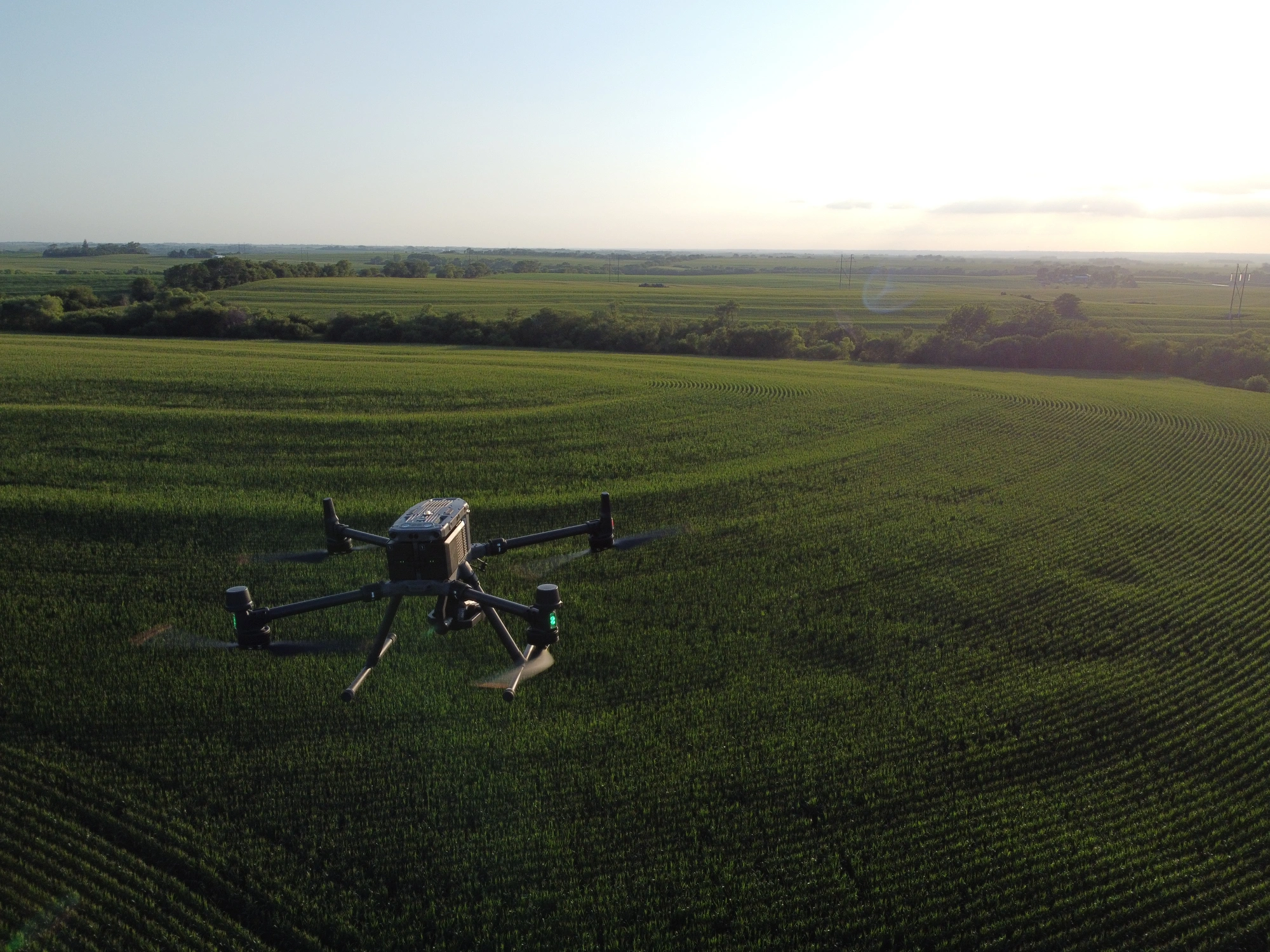
Soybean fungicide often lands around the R3 stage, and a wet June can squeeze that timing into a short window. Agricultural drone services in Norfolk covers fungicide, herbicide, insecticide, and foliar nutrients on corn, soybeans and hay. An agricultural sprayer drone in Norfolk, NE, can fly when the ground is too soft to carry a rig. Each pass is logged with product, rate, swath, wind and time, and a copy of the log goes to you when the job ends.

Drone Sales

Livestock and row-crop operations in Madison County sometimes ask whether to buy spray drone sales instead of hiring one. We help compare tank size, battery count, and charging power on a farm shop circuit and the time it takes to learn the machine. Custom applicators and co-ops weigh different factors than a 600-acre family operation does. We lay out costs and paperwork plainly, and we say so when hiring flights for a few seasons makes more sense first.

Drone Inspection Services in Omaha, NE

Drone Inspections

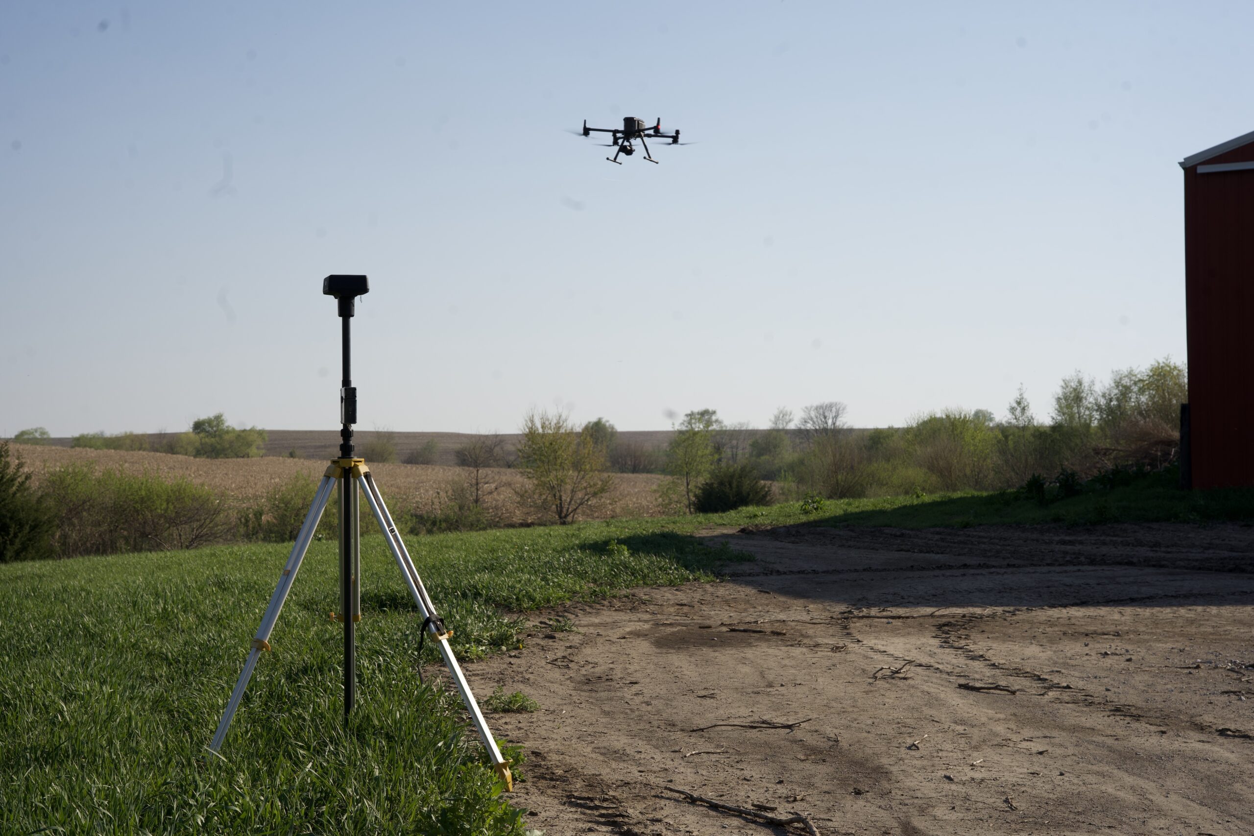
Livestock barns, hay sheds, grain legs, bin roofs, and pivot towers all take a beating from northeast Nebraska wind. An aerial inspection using agricultural drones provides a thorough structural assessment to check ridge caps, panel seams, vent stacks, and tower bolts without anyone climbing a ladder or a lift. We photograph hail marks and storm damage in carefully labeled sets that insurers, adjusters, and repair crews can use. Seeing a tall structure from above also helps plan repairs before the next storm line moves through.

Construction Drone Services

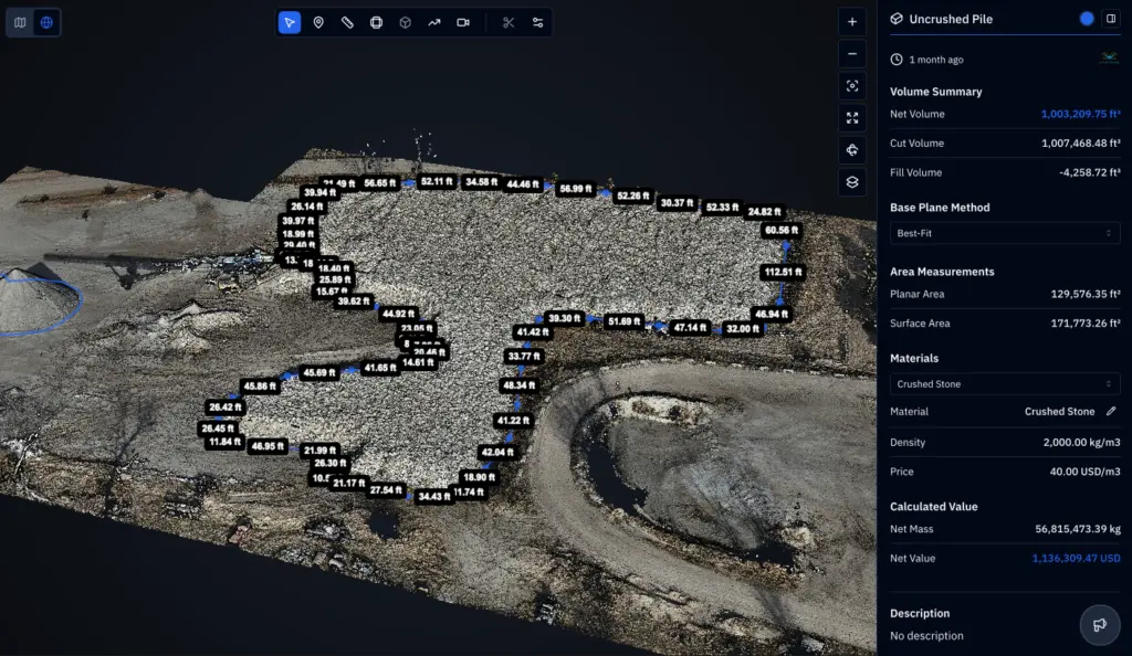
New livestock buildings, manure storage, grain bin pads, machine sheds, and field entrances need planning before any dirt moves. We map the site, measure slope, mark drainage paths, and run cut-and-fill numbers for borrow and spoil piles. Northeast Nebraska’s rolling ground makes drainage a first-week decision. Follow-up flights document progress for owners, builders, lenders, and construction drone services, using the same boundaries each time so changes stand out.

Search and Rescue

Missing livestock after a storm or fence break, a hunter who never returned, or a family member who wandered from a farmstead: rural searches cover large, quiet ground. Thermal and zoom cameras help crews quickly scan cornfields, creek lines, tree rows, and pasture edges at dusk or dawn. We follow the lead of local responders, pass on exact coordinates, and keep our flights well clear of other aircraft working the scene. Landowner contact comes first to Search and Rescue.

DroneX provides agricultural drone services in Lincoln, NE, with advanced aerial mapping

LEARN MORE ABOUT US

Who are we?

Norfolk growers hear a lot of drone pitches. We try to answer one narrower question: what will this aircraft do on your acres this season? DroneX Services is a Nebraska drone company that sprays, maps, scouts, inspects, builds site maps, and assists in searches, so our pilots meet many kinds of ground and many kinds of trouble. They keep clean flight logs, answer calls in plain English, and show up when they say they will. Bring a field number, a map, or a photo from your phone. We will tell you what the drone can add and what it will cost. If a job belongs to someone else, such as an agronomist or a ground applicator, we will point you to them.

Why Choose DroneX

Choosing a provider of agricultural drone services in Norfolk comes down to what happens on a bad day: a nozzle clogs mid-field, a front arrives early, and a label changes your buffer. DroneX Services plans for those days before they come, with spare nozzles, backup batteries, and a short call to confirm conditions before launch. We also note nearby homes, livestock, and sensitive crops before spraying starts. Here are four things worth asking a provider before you hand a field over to their aircraft.

Reasons to Trust

Written flight plans, product and rate logs and boundary maps are saved for each job, so your agronomist or landlord can review exactly what happened.

Your Best Choice

When rain delays a pass, we rebook quickly and tell you straight, so you are never left guessing about the next flight. Updates come by text or phone.

Right Choice for You

Eighty acres of soybeans or a full quarter of corn, one pass or a season plan. We price by field and explain each quote before you commit to anything.

Professional

We read each label, check wind speed and temperature and confirm buffers before takeoff. If the conditions are wrong, the aircraft stays on the truck.

Google Review

Write a Review

Webb Wallace
★★★★★
“Exceptional service! The drone team provided detailed aerial data that made farm management so much easier. Highly recommend their expertise.”
Renae Stringer
★★★★★
“Professional and reliable! Their inspection drones saved us time and gave accurate results we could trust.”
Erik Young
★★★★★
“Outstanding experience from start to finish. The team’s knowledge and technology exceeded our expectations and delivered great results.”

Top-Rated Agricultural Drone Services in Norfolk, NE

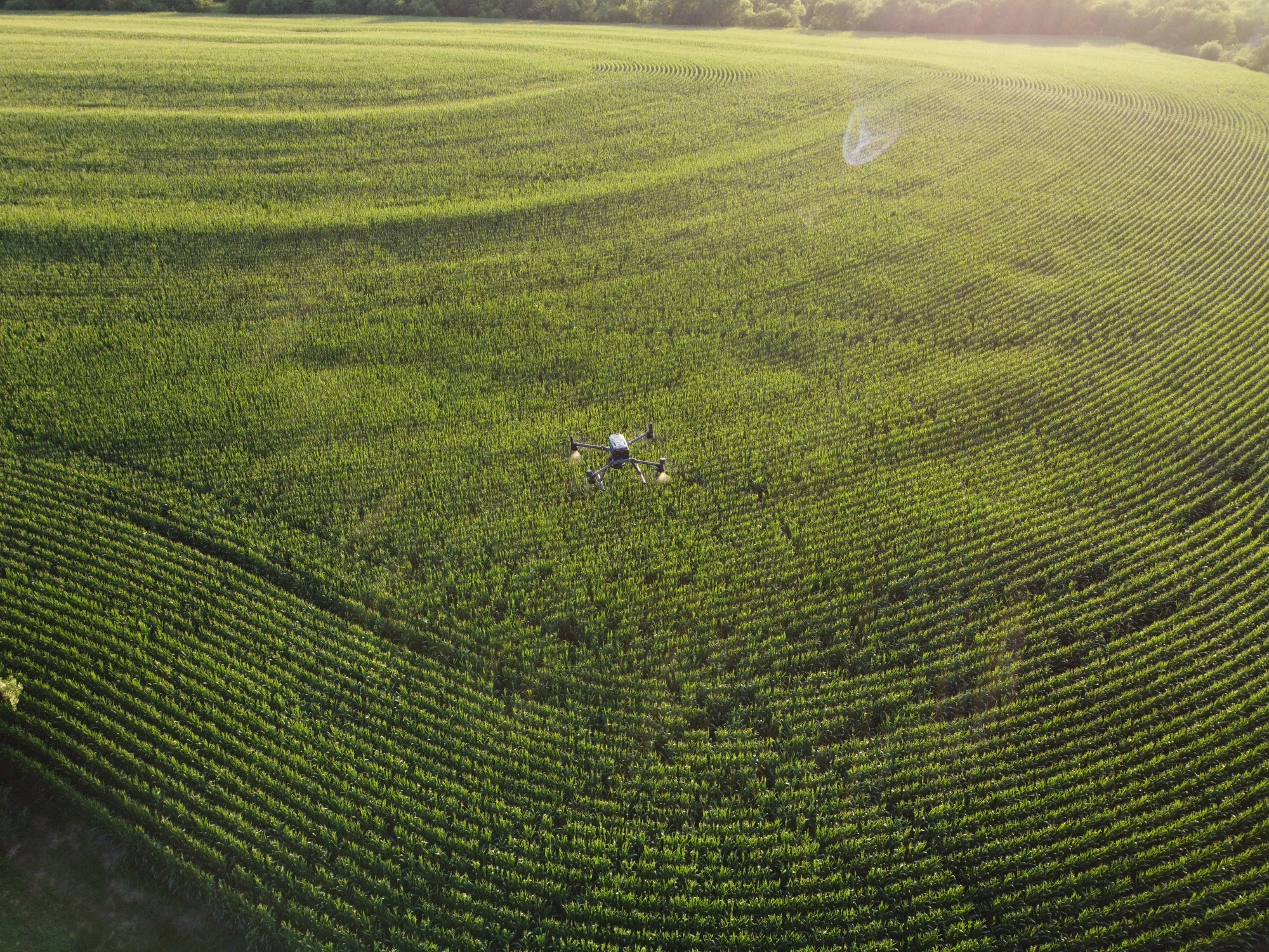
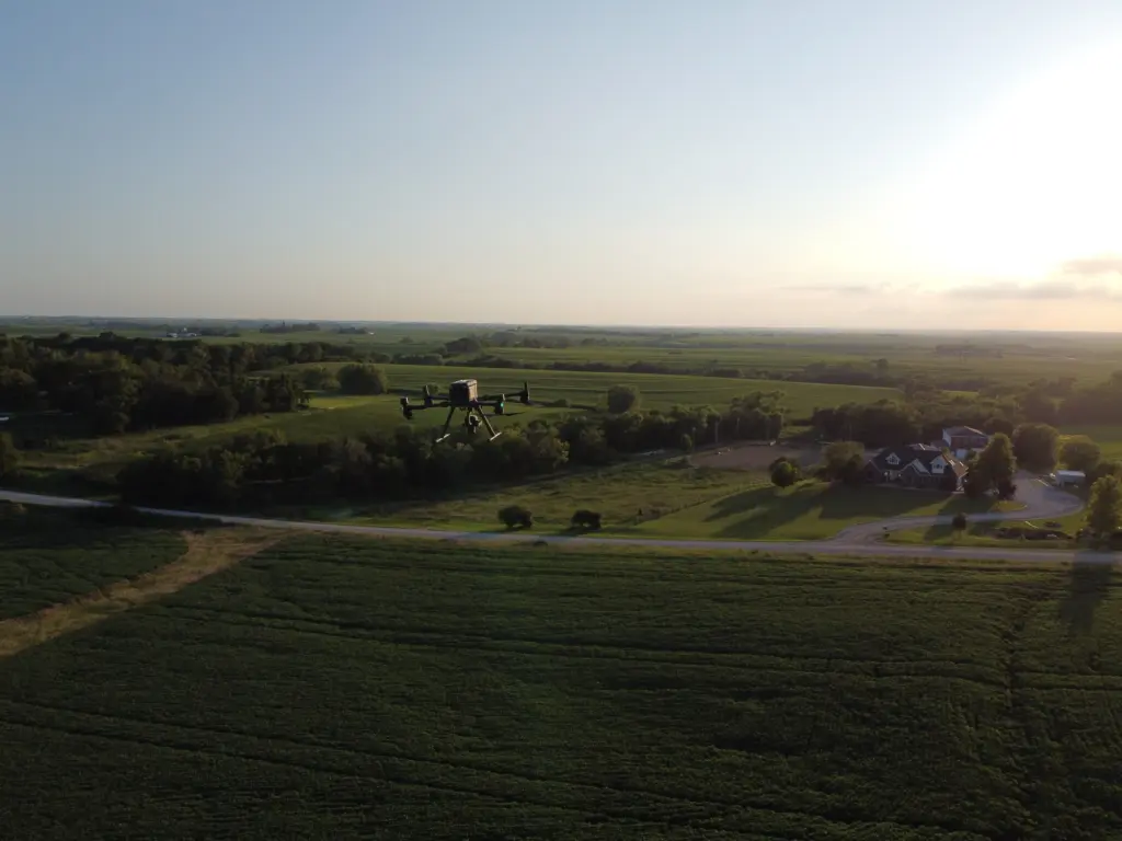
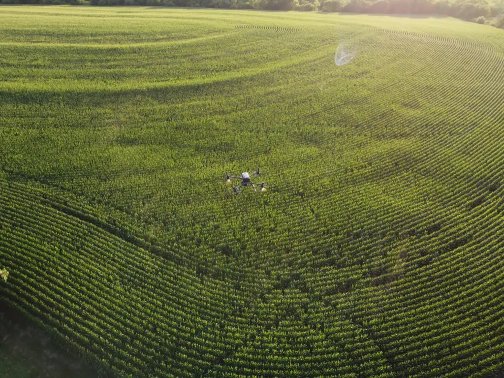
An agricultural sprayer drone in Norfolk earns its keep on the days a ground rig cannot run. Terraced slopes and wet bottoms are where it helps most. A typical mission starts at the kitchen table with your field map, label, and buffer notes. Before launch, we check wind, temperature, and humidity, then walk the edge for power lines, tree rows, and neighbors’ crops. The drone sprays along a planned path, shuts off at boundaries, and returns for refills. Afterward, you get a log of product, rate, time, and conditions. Agricultural drone mapping in Norfolk follows a week or two later, showing whether coverage looks even and which patches still need attention. Small fields and odd corners are welcome.

Check Out Our Collaborations

Proudly Serving Norfolk, NE & Nearby Agricultural Communities

Growers rarely stay inside city limits, and neither do our flights, so farm drone services in Norfolk reach the countryside. We fly for crop and livestock producers around Madison, Battle Creek, Tilden, Pierce, and Stanton, and we take calls from Wayne and the Elkhorn Valley. Northeast Nebraska ground varies from river-bottom flats to rolling hills crossed by grass waterways, and each type changes how we plan a spray or mapping flight. U.S. Highways 81 and 275 make most of the area a short drive. Looking for an ag drone in Norfolk and a crew that works nearby? This is our territory. Farther out? Call anyway. Distance mostly affects scheduling.

drone farming

Call Us Now

Wet week, short window, a field that looks off from the road? DroneX Services answers at, and we start with four plain questions: where is the field, what is planted, how many acres, and what changed. If you have a boundary file or a photo, send it along. We will check the forecast, the label and any buffers, then give you a quote and a date. Rain moves schedules, and we move with it, rebooking quickly instead of flying on a bad day. Prefer email? Our contact page works too, and you get questions or a price back. Small or odd fields are welcome. Calling before planting lets us map drainage and plan the season around your rotation.

Frequently Asked Questions

Can agricultural drones detect crop stress before it becomes visible from the ground?

Often, yes. Plant stress alters how leaves reflect near-infrared light before color shifts. Our multispectral flights capture that change and turn it into a color map. A scout checks the weakest zones to learn if water, pests or disease is behind it.

Elevation maps from mapping flights show low spots, runoff paths, and where water collects after rain. Thermal and vegetation maps add clues about dry ridges and wet pockets. Together they guide tile, waterway and terrace decisions before spring work.

Yes. Flights along a center pivot show uneven crop color under one span, soggy ground near a leak, and dry arcs where nozzles clog. Thermal passes help separate wet from dry ground. Finding a problem early saves water and protects yield in a hot week.

A map ranks zones from healthy to stressed, so you can scout the worst spots first instead of walking everything. Then you can choose between scouting, spot spraying, replanting, or adjusting fertility, especially if time and weather limit field days.

Can drone imagery help identify pest damage in specific areas of a field?

Often. Insect feeding, hail, and disease leave patterns such as patches, edges, or streaks that stand out from above. A drone shows where damage sits, and a scout confirms the cause on the ground, so you treat the zone instead of guessing across fields.

Orthomosaic maps, vegetation index maps, thermal images, elevation models, stand count estimates, spray records, and photos. Files come in common formats, and we can send them to your agronomist or retailer if you want a second opinion on the results.

Maps show which zones need attention, so spot treatment can replace blanket passes where the label allows. Precise path control and shutoff at boundaries cut overlap. Savings vary by field and product, and your agronomist should guide every decision.

Yes, indirectly. Earlier scouting, tighter spray timing and better drainage choices all help protect yield, and a drone shortens the time between a problem starting and you seeing it. Results will still depend on weather, variety, and your management.

CONTACT US

You Can Contact Us Any Time